Profile
Bass Coast is located about 130 kilometres south-east of Melbourne and is predominantly a coastal municipality with a unique coastline complemented by a beautiful hinterland.
Bass Coast is one of the few Victorian municipalities whose two major industries are tourism and agriculture. Cattle and dairy farming are the area's agricultural backbone, with boutique farming such as venison and vineyards fast emerging.
Bass Coast Shire has one of the highest growth rates in Victoria and 29% of the resident population is over the age of 60. During peak holiday periods, Bass Coast's population exceeds 60,000.
The Shire is visited by 35% of Melbourne's international visitors each year.
Council information
Vicmap Basemap Services @ 2023 State Government Victoria | Copyright and Disclaimer
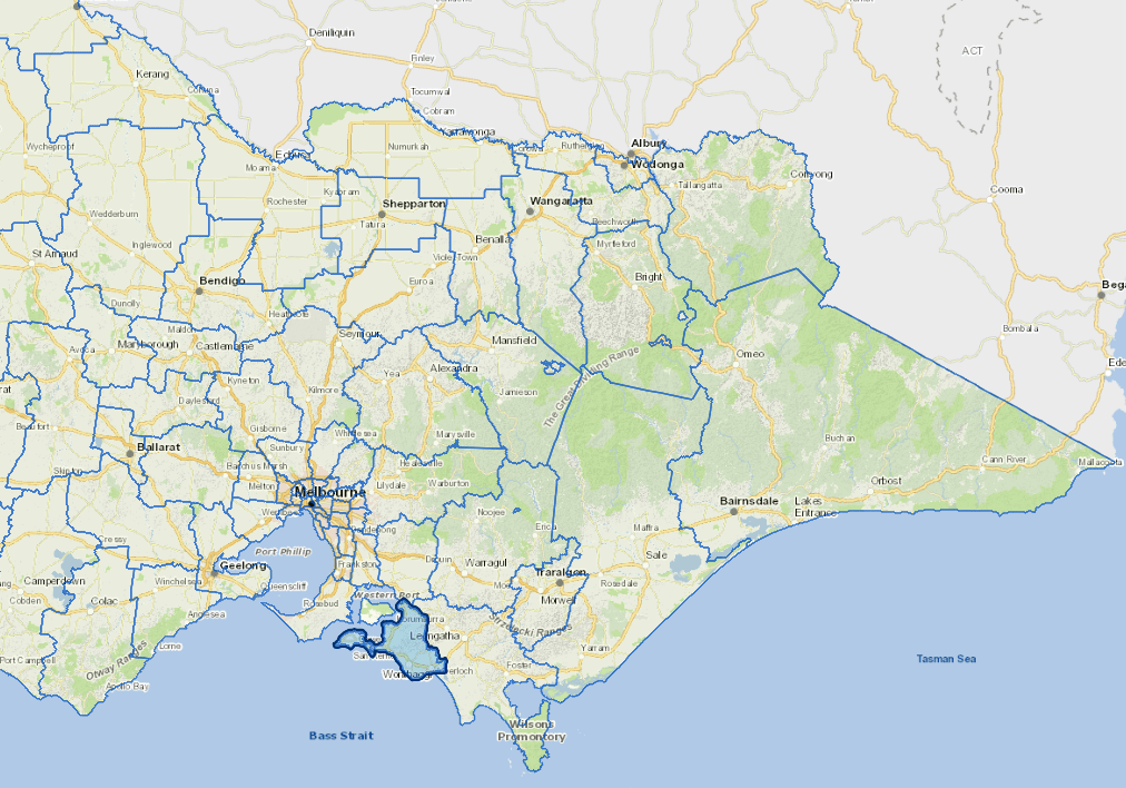
For a detailed map showing shire boundaries and locality names, visit VICNAMES.
Localities
Adams Estate, Almurta, Anderson, Archies Creek, Bass, Blackwood Forest, Cape Paterson, Cape Woolamai, Churchill Island, Corinella, Coronet Bay, Cowes, Dalyston, Dudley South, Glen Alvie, Glen Forbes, Grantville, Harmers Haven, Inverloch, Jam Jerrup, Kernot, Kilcunda, Kongwak, Krowera, Lance Creek, Lang Lang, Loch, Newhaven, Outtrim, Pioneer Bay, Pound Creek, Powlett River, Queensferry, Rhyll, Ryanston, San Remo, Silverleaves, Smiths Beach, St Clair, Summerlands, Sunderland Bay, Sunset Strip, Surf Beach, Tenby Point, The Gurdies, Ventnor, Wattle Bank, West Creek, Wimbleton Heights, Wonthaggi, Wonthaggi North, Woodleigh and Woolamai.
Updated