Profile
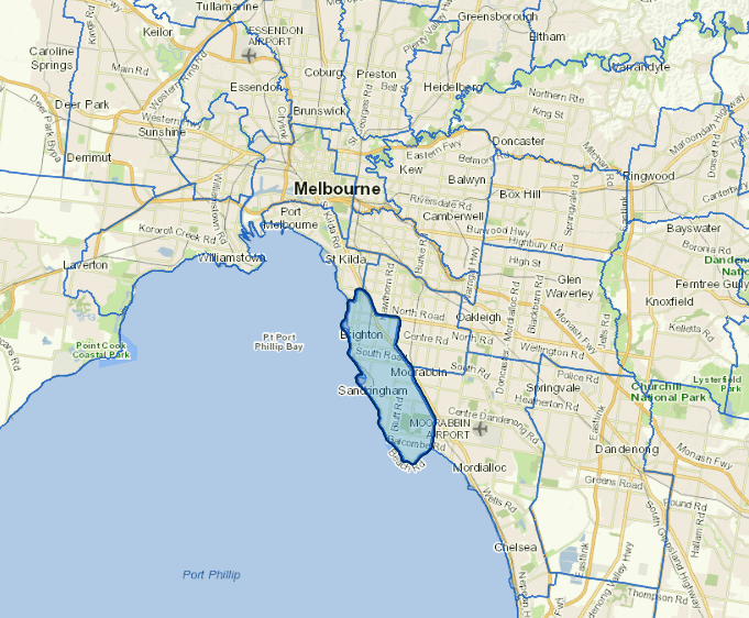
Bayside City's northern boundary is about 8 kilometres from the Central Business District of Melbourne.
The coastline of Port Phillip Bay forms the western boundary, while the Nepean Highway and the Frankston railway line form most of the eastern boundary. The city coastline stretches for 17 kilometres from Head St Brighton in the north to Charman Rd Beaumaris in the south.
Bayside is primarily a residential area. It includes beaches like Brighton Beach and Black Rock and contains some fine golf courses.
The main industries include building construction, fruit and vegetable processing.
Council information
Vicmap Basemap Services @ 2023 State Government Victoria | Copyright and Disclaimer
For a detailed map showing shire boundaries and locality names, visit VICNAMES.
Localities
Beaumaris, Black Rock, Brighton, Brighton East, Cheltenham, Cromer, Dendy, Hampton, Hampton East, Highett and Sandringham.
Updated