Profile
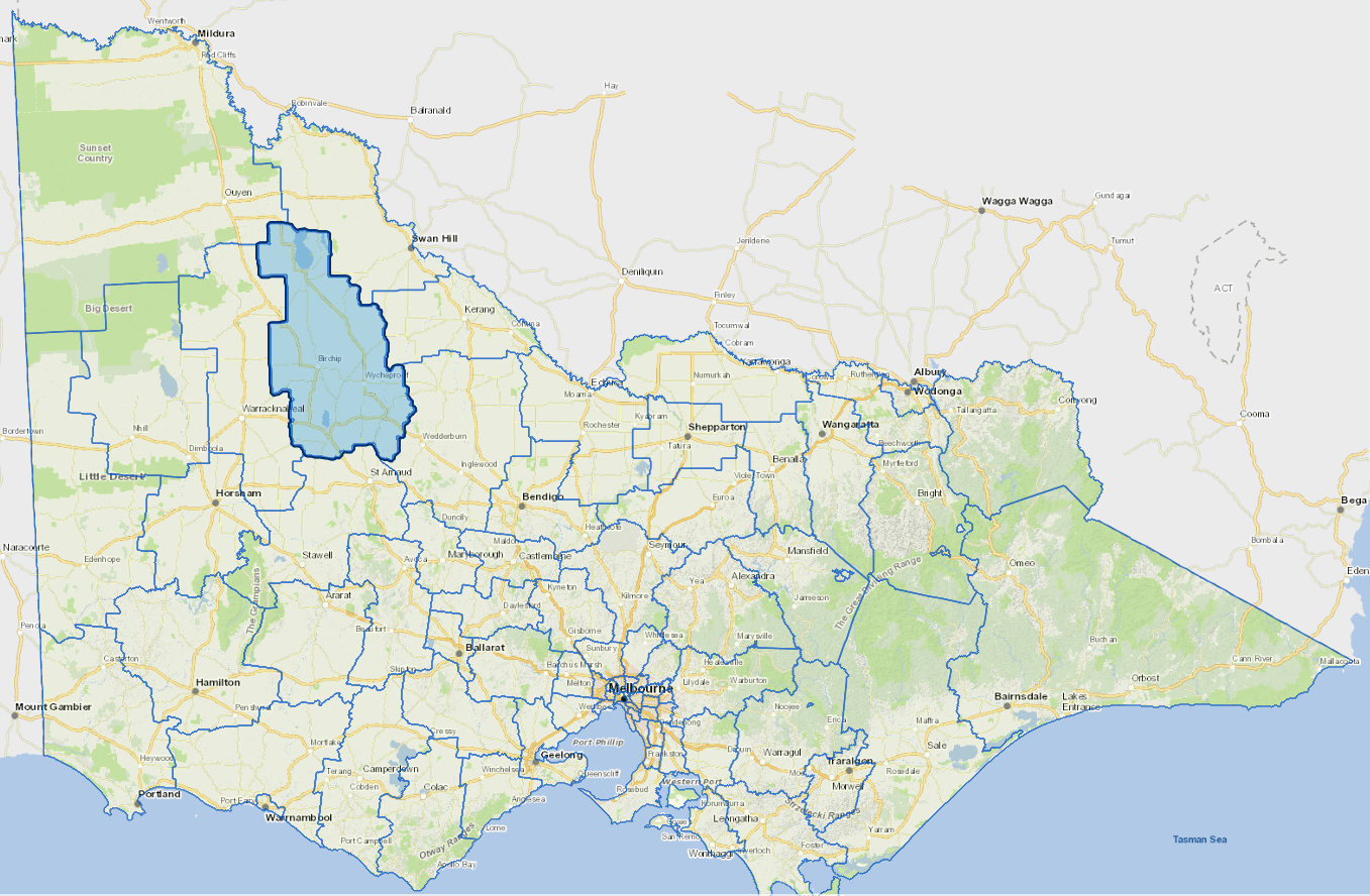
The Buloke Shire is located in North Western Victoria in the heart of the State's wheat belt.
Agriculture, especially grain and sheep production, is the major industry. Other important sectors include retail trade, health and community services and education.
The main townships have a comprehensive range of health, education and recreational facilities.
The Shire has a population of slightly less than one person per square kilometre.
Council information
Vicmap Basemap Services @ 2023 State Government Victoria | Copyright and Disclaimer
For a detailed map showing shire boundaries and locality names, visit VICNAMES.
Localities
Ballapur, Banyan, Banyenong, Barrakee, Berriwillock, Bimbourie, Birchip, Birchip West, Boigbeat, Buckrabanyule, Bunguluke, Carron, Charlton, Chirrup, Cokum, Coonooer Bridge, Cope Cope, Corack, Corack East, Culgoa, Curyo, Donald, Dooboobetic, Dumosa, Gil Gil, Glenloth, Glenloth East, Granite Flat, Jeffcott, Jeffcott North, Jeruk, Jil Jil, Kalpienung, Karyrie, Kinnabulla, Laen, Laen East, Laen North, Lake Buloke, Lake Marmel, Lake Tyrrell, Lawler, Litchfield, Marlbed, Massey, Morton Plains, Myall, Nandaly, Nareewillock, Narraport, Ninda, Nine Mile, Nullawil, Nyarrin, Pier Milan, Reedy Dam, Rich Avon, Richmond Plains, Sea Lake, Springfield, Straten, Sutton, Teddywaddy, Teddywaddy West, Terrappee, Thalia, Titybong, Towaninny, Towaninny South, Turriff East, Tyrrell, Tyrrell Downs, Warmur, Warne, Watchem, Watchem West, Watchupga, Whirily, Wilkur, Willangie, Wooroonook, Woosang, Wycheproof, Wycheproof South, Yawong Hills, Yeungroon and Yeungroon East.
Updated