Profile
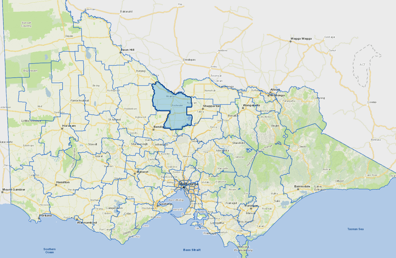
Campaspe Shire is located 180 km directly north of Melbourne on both the Murray and Goulburn Rivers. It is a popular tourist and retirement destination.
The main industries include dairying; tourism; food processing; cereal cropping; tomatoes; sheep/wool; aquaculture; floriculture; vegetables; feed lotting; viticulture; beef cattle and rice.
Council information
Vicmap Basemap Services @ 2023 State Government Victoria | Copyright and Disclaimer
For a detailed map showing shire boundaries and locality names, visit VICNAMES.
Localities
Ballendella, Bamawm, Bamawm Extension, Burnewang, Campaspe West, Carag Carag, Colbinabbin, Cornella, Corop, Creek View, Diggora, Dingee, Drummartin, Echuca, Echuca Village, Echuca West, Elmore, Fairy Dell, Girgarre, Gunbower, Harston, Kanyapella, Kotta, Kow Swamp, Koyuga, Ky Valley, Ky West, Kyabram, Lake Cooper, Lancaster, Lockington, McEvoys, Milloo, Mitiamo, Moora, Mount Scobie, Murchison, Muskerry, Myola, Nanneella, Patho, Piavella, Pine Grove, Redcastle, Rochester, Roslynmead, Runnymede, Rushworth, Simmie, Stanhope, Strathallan, Taripta, Tennyson, Terrick Terrick East, Terrick Terrick West, The Settlement, Timmering, Tongala, Toolleen, Torrumbarry, Wanalta, Waranga, Waranga Shores, Wharparilla, Whroo, Wyuna, Wyuna East and Yambuna.
Updated