Profile
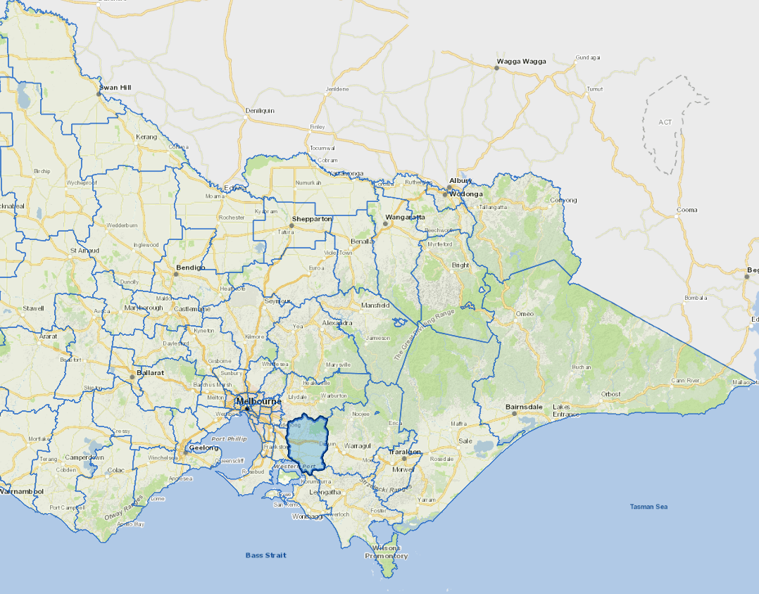
The Shire of Cardinia is situated on the south-eastern fringe of the Melbourne metropolitan area, and has a significant rural and horticultural hinterland.
It includes more than 30 communities stretching from the foothills of the Dandenong ranges in the north to the shores of Western Port Bay in the south.
The Cardinia is at the 'front' of Melbourne's south east growth corridor which stretches in a narrow band along the Princes Highway from Beaconsfield to Pakenham. The Shire has a young and rapidly growing population.
The main industries include food manufacturing, agriculture, meat and meat product manufacturing, motor vehicle and part manufacturing.
Council information
Vicmap Basemap Services @ 2023 State Government Victoria | Copyright and Disclaimer
For a detailed map showing shire boundaries and locality names, visit VICNAMES.
Localities
Avonsleigh, Bayles, Beaconsfield, Beaconsfield Upper, Bunyip, Bunyip North, Caldermeade, Cardinia, Catani, Clematis, Cockatoo, Cora Lynn, Dalmore, Dewhurst, Emerald, Garfield, Garfield North, Gembrook, Guys Hill, Heath Hill, Iona, Koo Wee Rup, Koo Wee Rup North, Lang Lang, Lang Lang East, Longwarry, Maryknoll, Menzies Creek, Modella, Monomeith, Mount Burnett, Nangana, Nar Nar Goon, Nar Nar Goon North, Nyora, Officer, Officer South, Pakenham, Pakenham South, Pakenham Upper, Rythdale, Tenby Point, Tonimbuk, Tooradin, Tynong, Tynong North, Vervale and Yannathan.
Updated