Profile
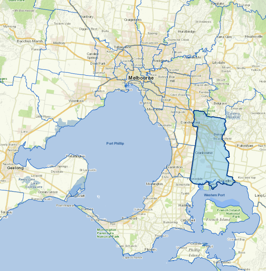
The City of Casey is 40km south east of Melbourne. It is Victoria's largest and fastest-growing municipality and the dominant growth area for south-eastern Melbourne.
Casey is also the third-fastest growing council in Australia behind the Gold Coast and Brisbane City Councils.
It has five distinct geographic regions stretching from the foothills of the Dandenong Ranges to the coastal villages of Western Port Bay. Urban development is concentrated in the northern part of the municipality.
The main industries include building construction, agriculture, and building structure services.
Council information
Vicmap Basemap Services @ 2023 State Government Victoria | Copyright and Disclaimer
For a detailed map showing shire boundaries and locality names, visit VICNAMES.
Localities
Beaconsfield, Berwick, Blind Bight, Cannons Creek, Clyde, Clyde North, Cranbourne, Cranbourne East, Cranbourne North, Cranbourne South, Cranbourne West, Devon Meadows, Doveton, Endeavour Hills, Eumemmerring, Fountain Gate, Hallam, Hampton Park, Harkaway, Junction Village, Lynbrook, Lyndhurst, Lysterfield South, Narre Warren, Narre Warren North, Narre Warren South, Pearcedale, Tooradin and Warneet.
Updated