Profile
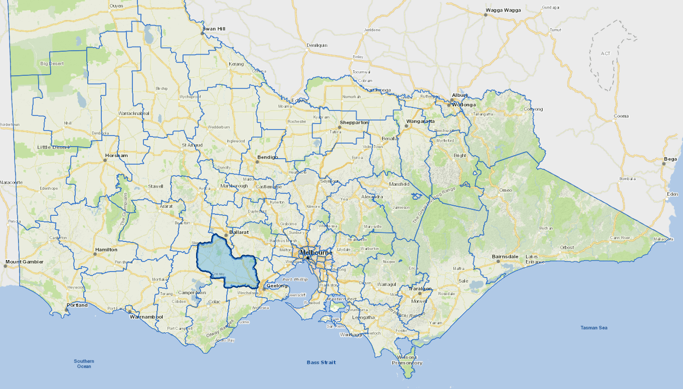
Golden Plains Shire is situated between Geelong and Ballarat, boasting over 25,000 residents across 56 communities, with an annual growth rate of 2.4%. It’s 2,705 sq km features award-winning food, wine, festivals, and rich history, attracting families with rural charm and affordable housing.
A thriving agricultural sector, particularly in intensive farming and viticulture, Golden Plains Shire drives tourism and supports over 2,000 businesses. The Shire is a major egg producer, fostering growth with the Golden Plains Food Production Precinct. Community spirit is strong, with Golden Plains Shire Council committed to ongoing collaboration with all stakeholders now and into the future.
Council information
Vicmap Basemap Services @ 2023 State Government Victoria | Copyright and Disclaimer
For a detailed map showing shire boundaries and locality names, visit VICNAMES.
Localities
Anakie, Bamganie, Bannockburn, Barunah Park, Batesford, Berringa, Berrybank, Cambrian Hill, Cape Clear, Corindhap, Cressy, Dereel, Durdidwarrah, Durham Lead, Enfield, Garibaldi, Gheringhap, Grenville, Haddon, Happy Valley, Hesse, Illabarook, Inverleigh, Lethbridge, Linton, Mannibadar, Maude, Meredith, Morrisons, Mount Bute, Mount Mercer, Murgheboluc, Napoleons, Newtown, Nintingbool, Piggoreet, Pitfield, Pittong, Rokewood, Rokewood Junction, Ross Creek, Russells Bridge, Scarsdale, She Oaks, Shelford, Smythes Creek, Smythesdale, Springdallah, Staffordshire Reef, Steiglitz, Stonehaven, Sutherlands Creek, Teesdale, Wallinduc, Werneth and Wingeel.
Updated