Profile
Hepburn Shire is located in central Victoria, just over an hour from Melbourne. The region is renowned for its natural beauty and mineral springs. The eastern part of the Shire is hilly, with high rainfall and significant native forests. The west has medium to lower rainfall and broad acre farming land.
The shire's economic base is in agriculture, forestry, manufacturing and tourism. Tourism is most popular around the Daylesford-Hepburn Springs mineral springs. Tourism, the arts, service industries, retailing, education and health and community services are growing rapidly.
Council information
Vicmap Basemap Services @ 2023 State Government Victoria | Copyright and Disclaimer
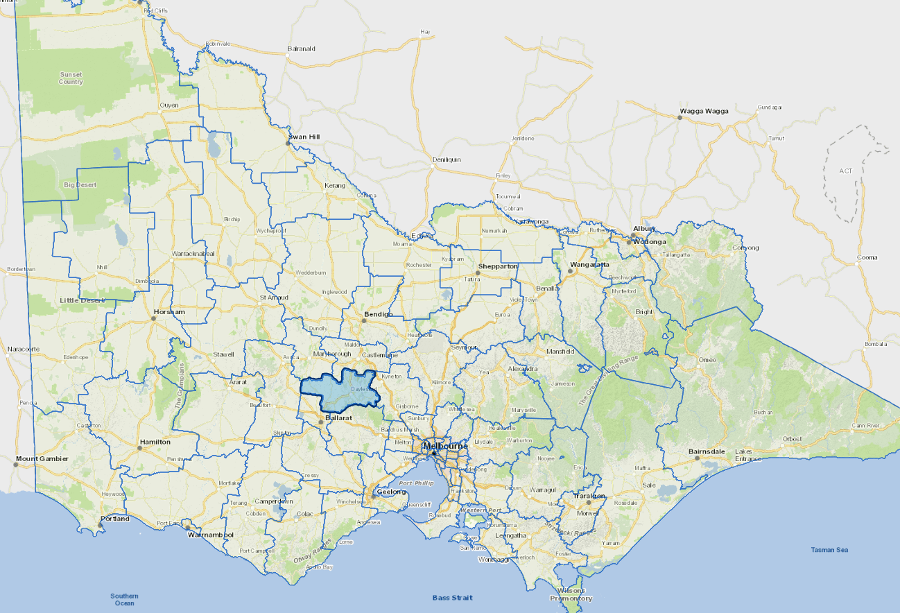
For a detailed map showing shire boundaries and locality names, visit VICNAMES.
Localities
Allendale, Bald Hills, Basalt, Blackwood North, Blampied, Broomfield, Bullarook, Bullarto, Bullarto South, Cabbage Tree, Campbelltown, Clunes, Clydesdale, Coomoora, Creswick, Creswick North, Daylesford, Dean, Denver, Drummond, Drummond North, Dry Diggings, Dunach, Eganstown, Elevated Plains, Evansford, Fern Hill, Franklinford, Glengower, Glenlyon, Guildford, Hepburn, Hepburn Springs, Invermay, Kingston, Kooroocheang, Korweinguboora, Langdons Hill, Lawrence, Leonards Hill, Little Hampton, Lyonville, Malmsbury, Mollongghip, Mount Beckworth, Mount Cameron, Mount Franklin, Mount Prospect, Musk, Musk Vale, Newbury, Newlyn, Newlyn North, Porcupine Ridge, Rocklyn, Sailors Falls, Sailors Hill, Sandon, Shepherds Flat, Smeaton, Smokey Town, Spring Hill, Springmount, Stony Creek, Strangways, Sulky, Taradale, Tarilta, Trentham, Trentham East, Tylden, Tylden South, Ullina, Wattle Flat, Waubra, Werona, Wheatsheaf and Yandoit.
Updated