Profile
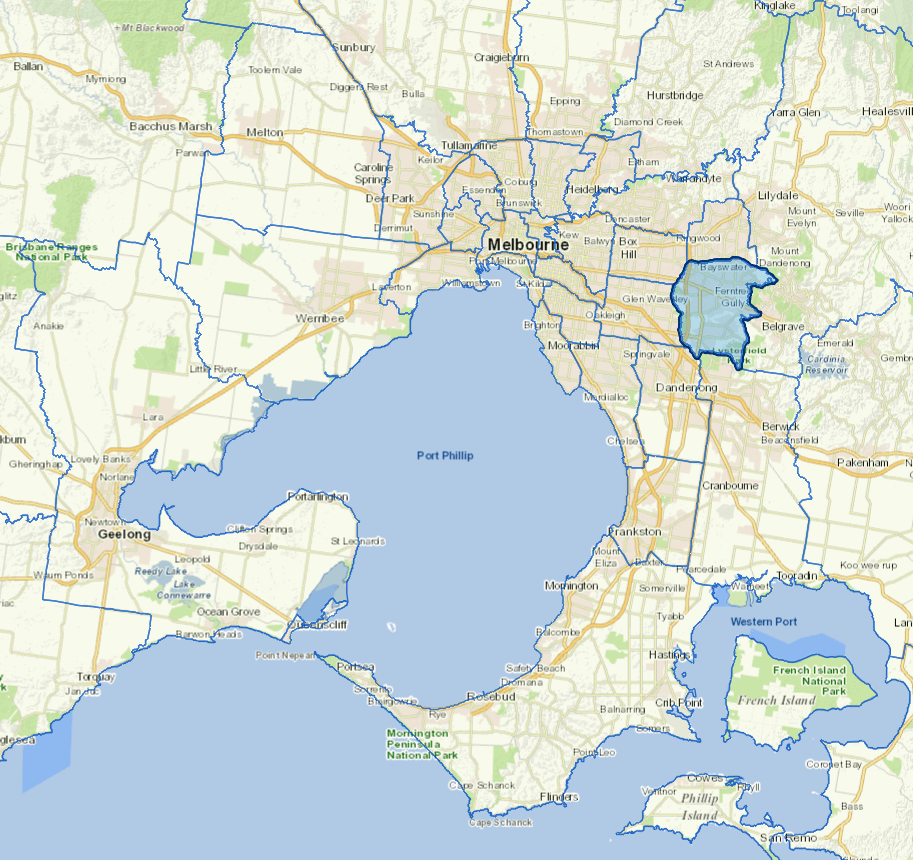
The City of Knox is situated in the outer eastern metropolitan area. It is a large municipality that has passed through a period of rapid housing and business development over the past three decades. Knox is now emerging from this period of high growth to a time of maturation and consolidation.
While Knox has a large residential population base, it also has substantial local employment in business, retail and manufacturing. The main industries include other chemical product manufacturing, other food manufacturing.
Council information
Vicmap Basemap Services @ 2023 State Government Victoria | Copyright and Disclaimer
For a detailed map showing shire boundaries and locality names, visit VICNAMES.
Localities
Bayswater, Boronia, Ferntree Gully, Knoxfield, Lysterfield, Rowville, Sassafras, Scoresby, Studfield, The Basin, Upper Ferntree Gully, Wantirna and Wantirna South.
Updated