Profile
Latrobe City is located 135 km east of Melbourne. It is the principal service centre for the Gippsland region and includes the regional headquarters for significant government and private organisations, and education centres. The Latrobe Valley generates 85% of Victoria's electricity, from its large reserves of brown coal.
Other major industries include timber processing, and the manufacturing of paper products as well as the provision of services to the Gippsland region. Latrobe has a young population, with 45% of residents aged under 35 – of these 28% are under 10.
Council information
Vicmap Basemap Services @ 2023 State Government Victoria | Copyright and Disclaimer
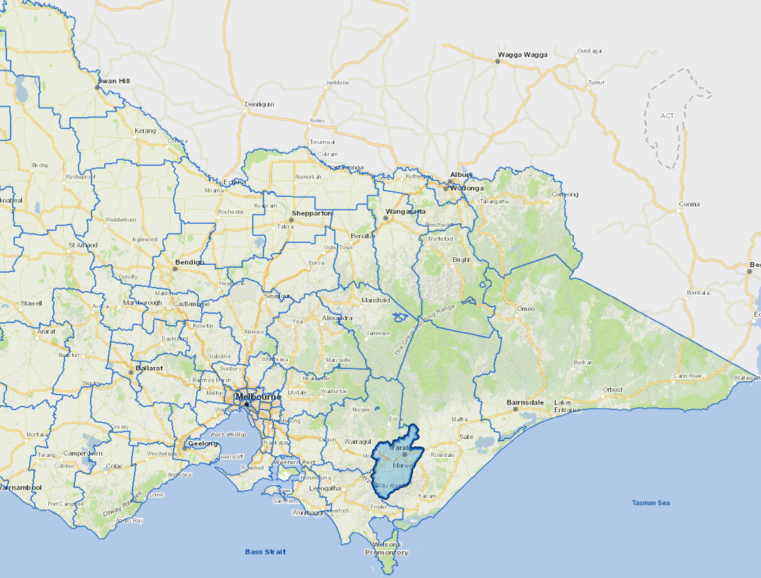
For a detailed map showing shire boundaries and locality names, visit VICNAMES.
Localities
Balook, Boola, Boolarra, Boolarra South, Budgeree, Callignee, Churchill, Cowwarr, Darlimurla, Delburn, Driffield, Flynn, Flynns Creek, Glengarry, Glengarry North, Glengarry West, Grand Ridge, Hazelwood, Hazelwood North, Hazelwood South, Hernes Oak, Jeeralang, Jeeralang Junction, Jumbuk, Koornalla, Loy Yang, Maryvale, Mid Valley, Mirboo, Moe, Moe South, Moondarra, Morwell, Mount Tassie, Narracan, Newborough, Tanjil South, Toongabbie, Traralgon, Traralgon East, Traralgon South, Tyers, Yallourn, Yallourn North, Yinnar and Yinnar South.
Updated