Profile
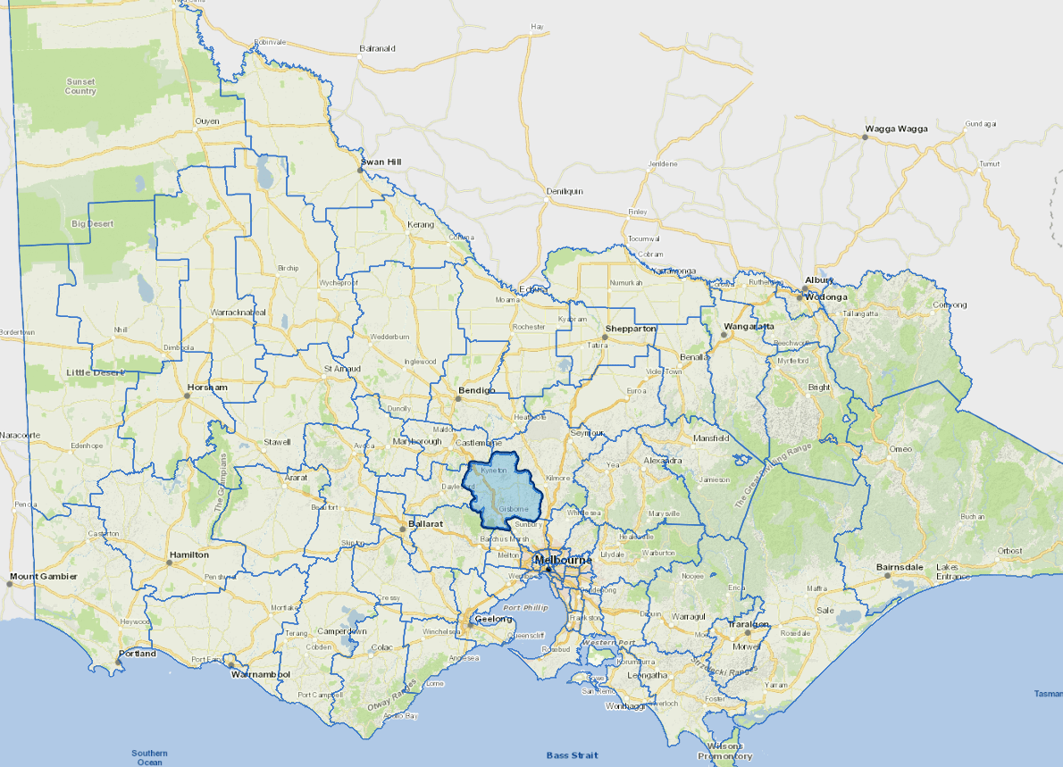
Macedon Ranges Shire is a semi-rural municipality, located within an hours' drive of Melbourne's central business district to the south and Bendigo to the north.
The shire's most important industry is tourism.
This region is popular with both domestic and international visitors, due to its natural attractions, wineries, and its proximity and accessibility to the Melbourne metropolitan area.
Council information
Vicmap Basemap Services @ 2023 State Government Victoria | Copyright and Disclaimer
For a detailed map showing shire boundaries and locality names, visit VICNAMES.
Localities
Ashbourne, Baynton, Baynton East, Benloch, Bolinda, Bullengarook, Bylands, Carlsruhe, Cherokee, Chintin, Clarkefield, Cobaw, Darraweit Guim, Denver, Drummond, Drummond North, Edgecombe, Fern Hill, Gisborne, Gisborne South, Glenhope, Goldie, Greenhill, Hanging Rock, Hesket, Kerrie, Kyneton, Kyneton South, Lancefield, Lauriston, Macedon, Malmsbury, Monegeetta, Mount Macedon, New Gisborne, Newham, Pastoria, Pastoria East, Pipers Creek, Riddells Creek, Rochford, Romsey, Sidonia, Spring Hill, Springfield, Tantaraboo, Taradale, Toolern Vale, Trentham East, Tylden, Woodend and Woodend North.
Updated