Profile
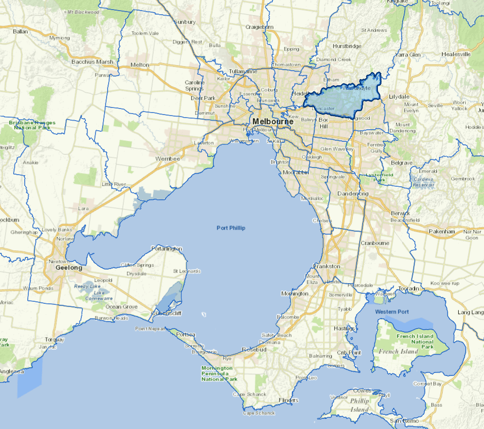
Manningham is in Melbourne's eastern suburbs. It stretches from Bulleen, about 12 kilometres from Melbourne’s central business district (CBD), to Wonga Park, about 32 kilometres from the CBD.
Manningham has large areas of open space, including more than 300 parks and reserves and a mix of shopping and dining precincts. With vibrant residential neighbourhoods and lots of housing options, Manningham also includes attractions such as local galleries, nurseries and community centres. A large section of the eastern half of Manningham is designated as a green wedge to protect Melbourne’s significant natural and rural environment.
Manningham is also home to a diverse and multicultural community that brings a wealth of languages, music, food and cultural traditions to the region.
Council information
Vicmap Basemap Services @ 2023 State Government Victoria | Copyright and Disclaimer
For a detailed map showing shire boundaries and locality names, visit VICNAMES.
Localities
Bulleen, Doncaster, Doncaster East, Donvale, Nunawading, Park Orchards, Ringwood North, Templestowe, Templestowe Lower, Warrandyte, Warrandyte South and Wonga Park.
Updated