Profile
The City of Maribyrnong is undergoing significant change due to population growth and redevelopment, attracting an influx of new residents, businesses and employment opportunities, which is resulting in Maribyrnong becoming a sought after destination in Melbourne's inner-west.
Maribyrnong is home to residents from a wide range of cultural and linguistic backgrounds, with around 40 percent born overseas and speaking a language other than English.
Maribyrnong City Council ensures the City remains a great place to live, work, and visit by planning and providing services, engaging with the community, maintaining assets efficiently and advocating for key issues on behalf of residents.
Council information
Vicmap Basemap Services @ 2023 State Government Victoria | Copyright and Disclaimer
For a detailed map showing shire boundaries and locality names, visit VICNAMES.
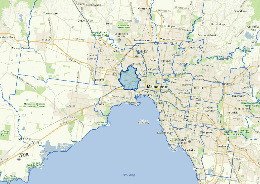
Localities
Braybrook, Footscray, Kingsville, Maidstone, Maribyrnong, Seddon, Tottenham, West Footscray and Yarraville.
Updated