Profile
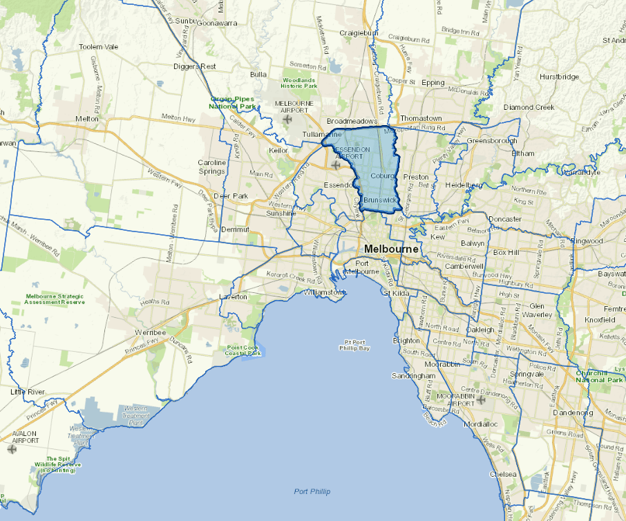
Merri-bek City Council is situated in Melbourne's inner north, just five kilometres from the central business district. The area is culturally diverse, with one-third of its residents born overseas, primarily in non-English speaking countries. Combining residential and industrial zones, the city features a major retail strip along Sydney Road, as well as the Merri and Moonee Ponds creeks and the historic Pentridge Prison.
In 2022, Council changed its name from Moreland to Merri-bek. For service, financial, governance, and management reporting, the Council may be referred to as Moreland for the 2021-22 financial year and Merri-bek for subsequent years.
Council information
Vicmap Basemap Services @ 2023 State Government Victoria | Copyright and Disclaimer
For a detailed map showing shire boundaries and locality names, visit VICNAMES.
Localities
Batman, Brunswick, Brunswick East, Brunswick West, Coburg, Coburg North, Fawkner, Fitzroy North, Glenroy, Gowanbrae, Hadfield, Merlynston, Moreland, Oak Park, Parkville, Pascoe Vale, Pascoe Vale South and Tullamarine.
Updated