Profile
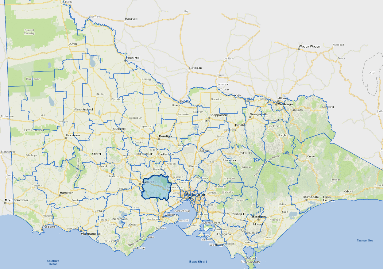
Moorabool Shire is a semi-rural municipality between Melbourne and Ballarat.
The main towns are Bacchus Marsh (population 16,000 - 45 km west of the Melbourne CBD) and Ballan (2,660 - 70 km west of the city). About 40% of residents work in Melbourne. A significant number also work in Ballarat.
The main industries include agriculture, dairy product manufacturing, construction material mining, beverage and malt manufacturing.
Council information
Vicmap Basemap Services @ 2023 State Government Victoria | Copyright and Disclaimer
For a detailed map showing shire boundaries and locality names, visit VICNAMES.
Localities
Bacchus Marsh, Ballan, Balliang, Balliang East, Barkstead, Barrys Reef, Beremboke, Blackwood, Blakeville, Bolwarrah, Bullarook, Bullarto South, Bunding, Bungal, Bungaree, Buninyong, Cargerie, Clarendon, Claretown, Clarkes Hill, Coimadai, Colbrook, Dales Creek, Darley, Dunnstown, Durham Lead, Elaine, Fiskville, Glen Park, Glenmore, Gordon, Greendale, Grenville, Hopetoun Park, Ingliston, Korobeit, Korweinguboora, Lal Lal, Leigh Creek, Lerderderg, Long Forest, Maddingley, Meredith, Merrimu, Millbrook, Mollongghip, Morrisons, Mount Doran, Mount Egerton, Mount Wallace, Myrniong, Navigators, Parwan, Pentland Hills, Pootilla, Rowsley, Scotsburn, Spargo Creek, Springbank, Trentham, Wallace, Warrenheip, Wattle Flat and Yendon.
Updated