Profile
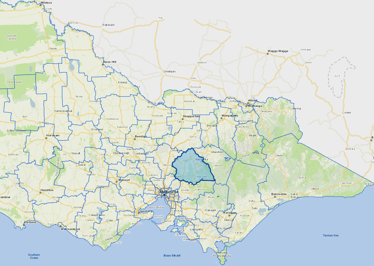
Murrindindi Shire is situated on Melbourne's peri-urban fringe. The Shire spans 3879 square kilometres and encompasses the charming rural townships of Alexandra, Eildon, Kinglake, Marysville and Yea. The Shire benefits from great natural beauty and tourist attractions such as Lake Eildon, picturesque national parks, the Great Victorian Rail Trail and access to Victoria's snowfields.
The majority of the land in the Shire is classified as agricultural and agribusiness, encompassing beef production, forestry, fishing and horticulture form key industries, as does tourism. The Shire is located within close proximity to Melbourne, a lovely 60 to 90 minute drive from Melbourne, depending on your route.
Council information
Vicmap Basemap Services @ 2023 State Government Victoria | Copyright and Disclaimer
For a detailed map showing shire boundaries and locality names, visit VICNAMES.
Localities
Acheron, Alexandra, Buxton, Castella, Cathkin, Caveat, Cheviot, Devils River, Dropmore, Eildon, Fawcett, Flowerdale, Ghin Ghin, Glenburn, Gobur, Gooram, Highlands, Homewood, Kanumbra, Kerrisdale, Killingworth, Kinglake, Kinglake Central, Kinglake West, Koriella, Limestone, Maintongoon, Marysville, Merton, Molesworth, Murrindindi, Narbethong, Pheasant Creek, Rubicon, Ruffy, Strath Creek, Taggerty, Taylor Bay, Terip Terip, Thornton, Toolangi, Trawool, Woods Point, Yarck and Yea.
Updated