Profile
The City of Port Phillip is a vibrant municipality, where the city meets the sea.
One of the oldest areas of Melbourne, Port Phillip is known for its urban villages, beautiful gardens and beaches; its architecture, from contemporary forms to magnificent heritage buildings; and its inclusive, diverse community celebrated for its bold, artistic expressions.
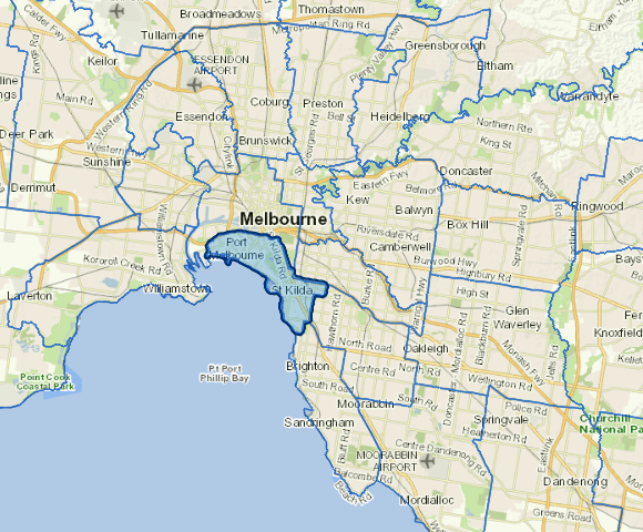
Located on 11 km of foreshore at the northern edge of Port Phillip Bay and south of the Melbourne central business district, the city features some of Victoria's most popular and innovative cultural events, recreational facilities, restaurants and entertainment venues. These features have resulted in increased residential redevelopment in recent times. Significant business areas include the St Kilda Road office district and industrial, warehousing and manufacturing districts in South Melbourne and Port Melbourne.
Council infomation
Vicmap Basemap Services @ 2023 State Government Victoria | Copyright and Disclaimer
For a detailed map showing shire boundaries and locality names, visit VICNAMES.
Localities
Albert Park, Balaclava, Elwood, Garden City, Melbourne, Middle Park, Port Melbourne, Ripponlea, South Melbourne, Southbank, St Kilda, St Kilda East, St Kilda West and Windsor.
Updated