Council information
Vicmap Basemap Services @ 2023 State Government Victoria | Copyright and Disclaimer
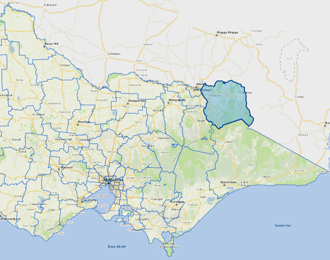
For a detailed map showing shire boundaries and locality names, visit VICNAMES.
Localities
Bellbridge, Berringama, Bethanga, Biggara, Bullioh, Bungil, Burrowyne, Colac Colac, Corryong, Cudgewa, Dartmouth, Eskdale, Georges Creek, Granya, Guys Forest, Huon, Jarvis Creek, Koetong, Lucyvale, Mitta Mitta, Mount Alfred, Nariel Valley, Old Tallangatta, Pine Mountain, Shelley, Talgarno, Tallandoon, Tallangatta, Tallangatta East, Tallangatta South, Tallangatta Valley, Thologolong, Thowgla Valley, Tintaldra, Tom Groggin, Towong, Towong Lower and Walwa.
Updated