Profile
Warrnambool is the principal service centre for south-western Victoria, as well as being a popular retirement and tourist destination.
The city boasts a campus of Deakin University and contains a significant health-care sector.
Major industries and services include retail, tourism, education, health, dairy, meat processing and construction.
Council information
Vicmap Basemap Services @ 2023 State Government Victoria | Copyright and Disclaimer
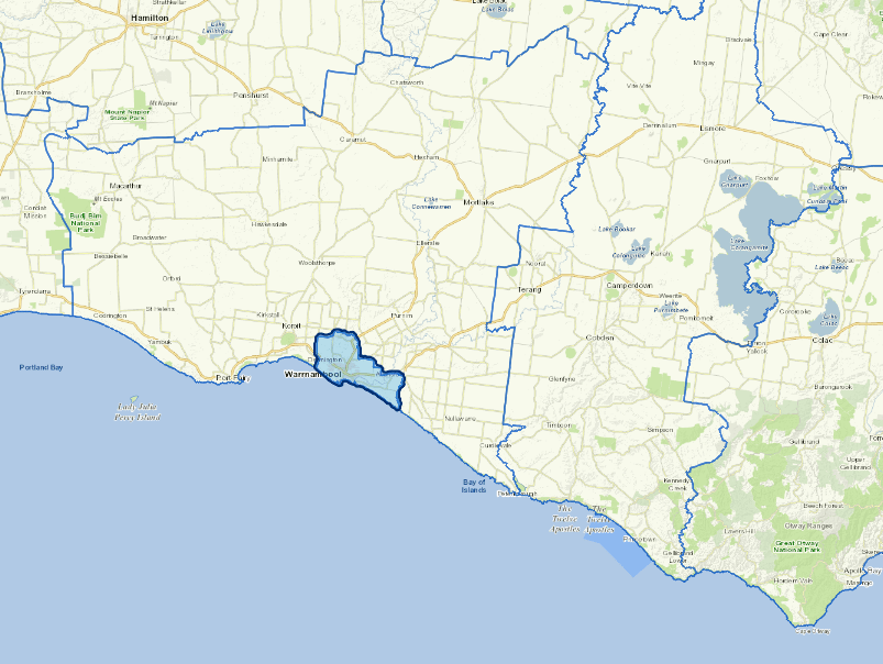
For a detailed map showing shire boundaries and locality names, visit VICNAMES.
Localities
Allansford, Bushfield, Dennington, Illowa, Warrnambool, Woodford and Yangery.
Updated