Profile
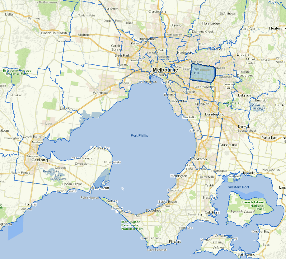
Whitehorse is a major commercial and residential municipality in Melbourne's east, approximately 15 km from Melbourne's CBD.
Whitehorse is a mix of quiet residential streets and bustling shopping centres. It has important retail centres at Box Hill and Forest Hill, as well as educational institutions such as Box Hill TAFE and Deakin University.
Whitehorse prides itself on having over 350 parks and reserves in its 64 sq km.
Council information
Vicmap Basemap Services @ 2023 State Government Victoria | Copyright and Disclaimer
For a detailed map showing shire boundaries and locality names, visit VICNAMES.
Localities
Blackburn, Blackburn North, Blackburn South, Box Hill, Box Hill North, Box Hill South, Burwood, Burwood East, Forest Hill, Mitcham, Mont Albert, Mont Albert North, Nunawading, Surrey Hills, Vermont and Vermont South.
Updated