Profile
Situated on the Hume Freeway, and the Melbourne to Sydney rail line, Wodonga is well recognised as a strategic hub along the eastern seaboard.
Wodonga is the twin city to Albury in New South Wales. The cities together form a major growth centre which services a wide rural hinterland in both Victoria and New South Wales. Its proximity between Australia’s two largest cities, Melbourne and Sydney, provides key advantages. Health care and social assistance, public administration and safety and manufacturing are the leading employment sectors in the city.
The area also boasts an enviable climate of hot, dry summers, perfect autumns and springs and cool winters.
Council information
Vicmap Basemap Services @ 2023 State Government Victoria | Copyright and Disclaimer
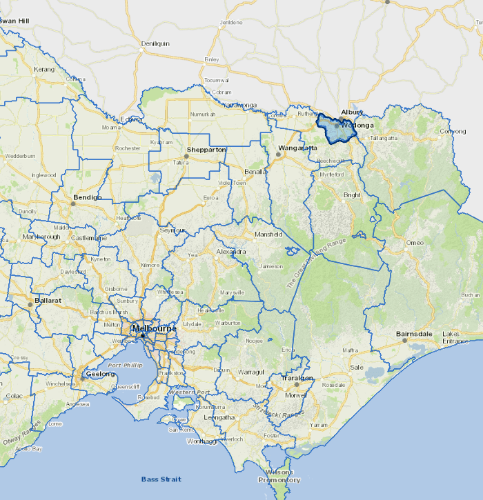
For a detailed map showing shire boundaries and locality names, visit VICNAMES.
Localities
Bandiana, Baranduda, Barnawartha North, Bonegilla, Castle Creek, Ebden, Gateway Island, Hume Weir, Huon Creek, Killara, Leneva, Staghorn Flat, Wodonga and Wodonga West.
Updated