Profile
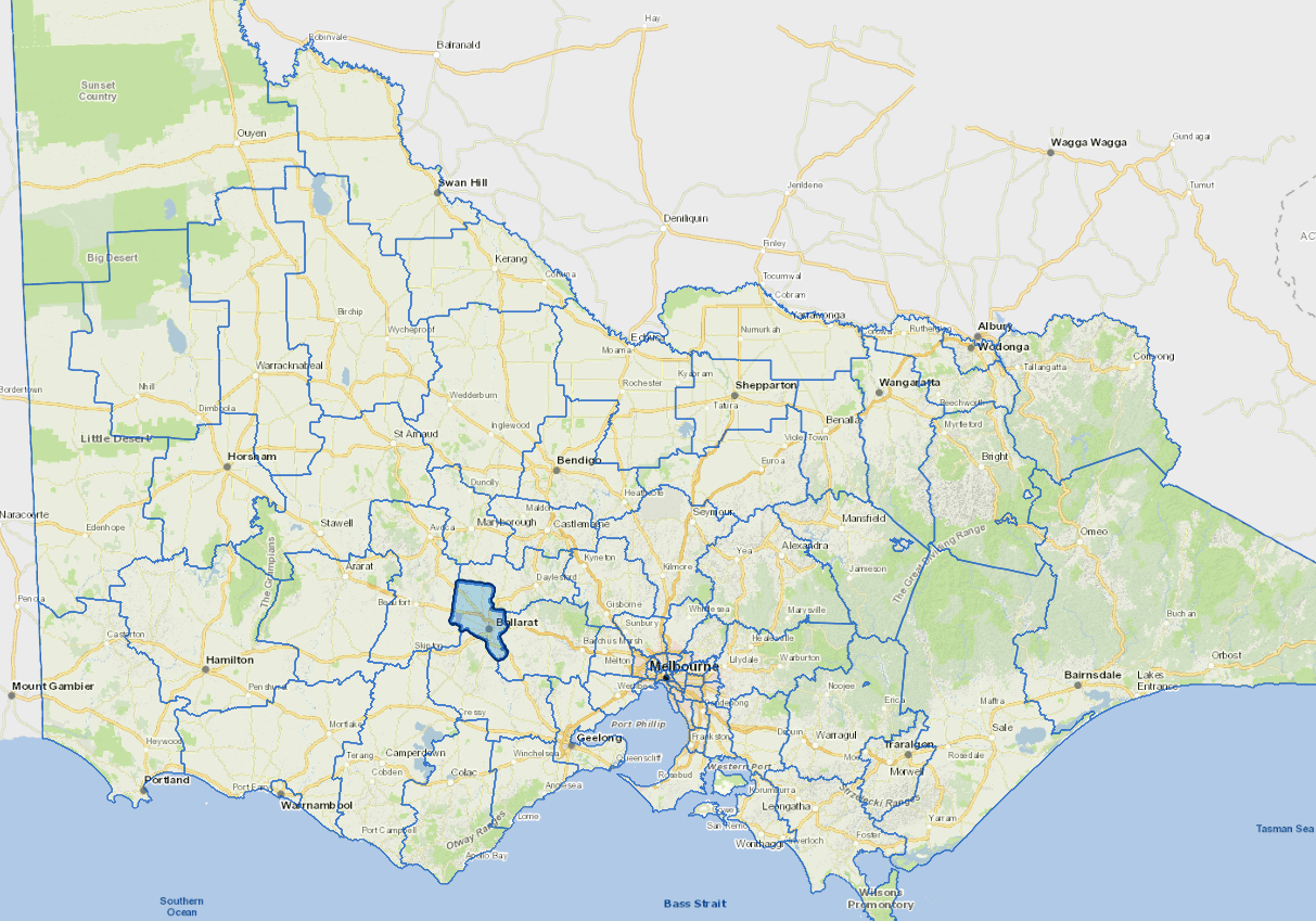
The City of Ballarat lies within a gently undulating section of the midland plains in western Victoria, about 80 kms from Melbourne.
It is positioned at the centre of some of Victoria's most important freight, tourist and commuter transport routes, with the Western, the Midland, the Glenelg and the Sunraysia highways radiating from it.
Ballarat has traditionally prospered on mineral and agricultural based resources, however manufacturing, tourism, health and community services, education and retailing are now the key industries.
These industries, along with banking, finance and government services, are strengthening Ballarat's role as a regional service provider.
Further information
Vicmap Basemap Services @ 2023 State Government Victoria | Copyright and Disclaimer
For a detailed map showing shire boundaries and locality names, visit VICNAMES.
Localities
Addington, Alfredton, Ascot, Bakery Hill, Bald Hills, Ballarat, Ballarat East, Black Hill, Blowhard, Bo Peep, Bonshaw, Brown Hill, Buninyong, Bunkers Hill, Burrumbeet, Canadian, Cardigan, Cardigan Village, Chapel Flat, Coghills Creek, Creswick, Delacombe, Durham Lead, Ercildoune, Eureka, Glen Park, Glendaruel, Glendonnel, Golden Point, Gong Gong, Invermay, Invermay Park, Lake Gardens, Lake Wendouree, Learmonth, Magpie, Miners Rest, Mitchell Park, Mount Bolton, Mount Clear, Mount Helen, Mount Pleasant, Mount Rowan, Nerrina, Newington, Redan, Scotchmans Lead, Scotsburn, Sebastopol, Smythes Creek, Soldiers Hill, Sovereign Hill, Tourello, Warrenheip, Wattle Flat, Weatherboard, Wendouree, Wendouree Village, Windermere.
Updated