Profile
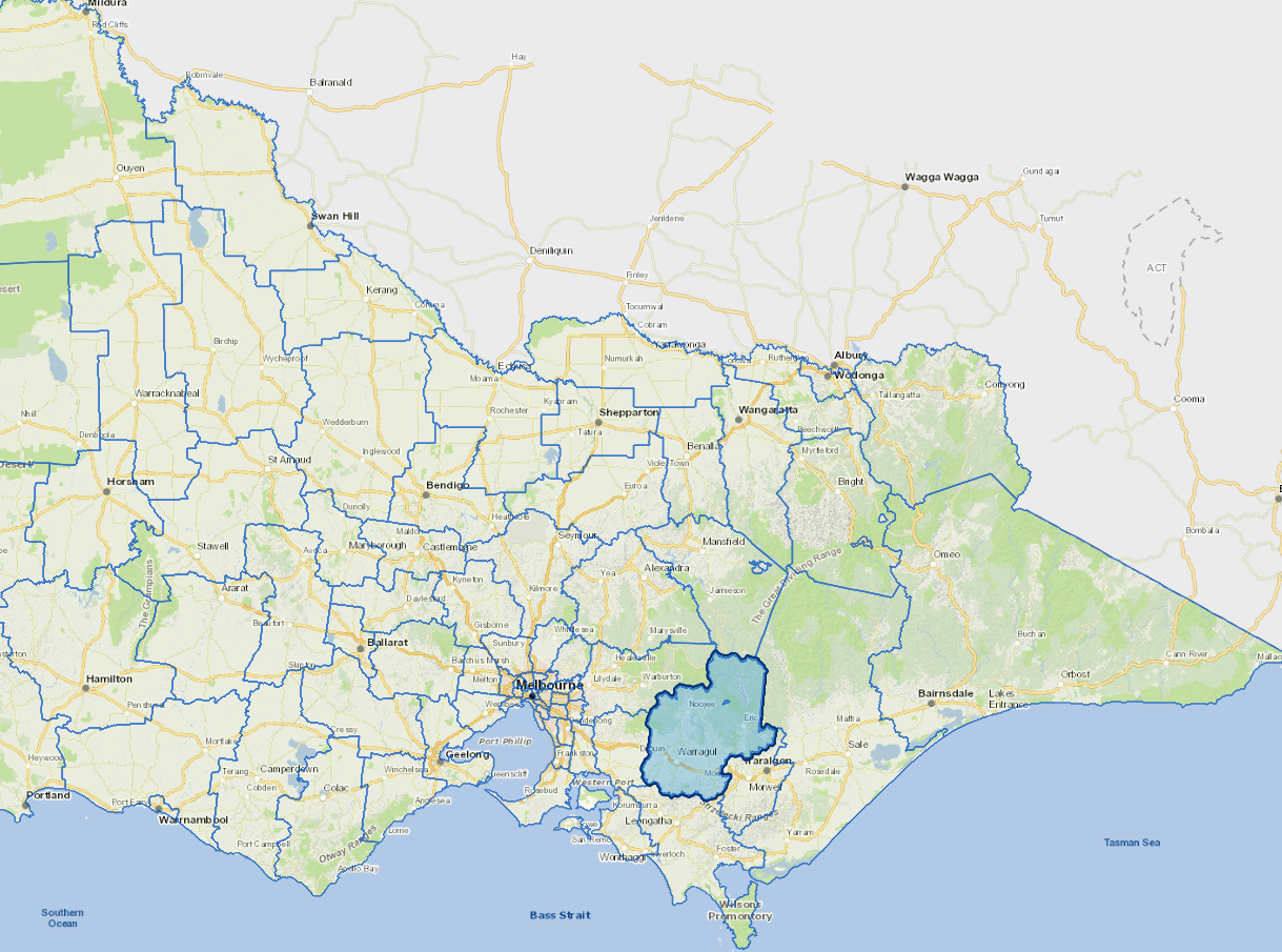
Baw Baw Shire is located 100 kilometres east of Melbourne and offers a mix of rural and urban living with affordable housing and scenic views. Spanning 4,027 square kilometres, the shire is Victoria’s largest peri-urban municipality.
Major townships (Warragul, Drouin, Longwarry, Yarragon, Trafalgar) are situated along the Gippsland rail line and Princes Freeway. The Shire’s northern half is forested and lies in the Great Dividing Range, while the south is bounded by the Strzelecki Ranges.
Major industries include healthcare, construction, education, agriculture, and manufacturing. There is a high commuter workforce, and the community relies on road and rail networks to travel and access services.
Council information
Vicmap Basemap Services @ 2023 State Government Victoria | Copyright and Disclaimer
For a detailed map showing shire boundaries and locality names, visit VICNAMES.
Localities
Aberfeldy, Ada, Allambee, Allambee Reserve, Allambee South, Amor, Athlone, Baw Baw, Baw Baw Village, Bona Vista, Boola, Brandy Creek, Bravington, Buln Buln, Buln Buln East, Caringal, Childers, Cloverlea, Coalville, Coopers Creek, Crossover, Darnum, Delburn, Driffield, Drouin, Drouin East, Drouin South, Drouin West, Ellinbank, Erica, Ferndale, Fumina, Fumina South, Gainsborough, Gentle Annie, Glengarry North, Hallora, Hallston, Heath Hill, Hernes Oak, Hill End, Icy Creek, Jacob Creek, Jericho, Jindivick, Labertouche, Lardner, Lillico, Loch Valley, Longwarry, Longwarry North, Mirboo South, Modella, Moe, Moe South, Moondarra, Mountain View, Narracan, Nayook, Neerim, Neerim East, Neerim Junction, Neerim North, Neerim South, Nilma, Noojee, Nyora, Piedmont, Poowong East, Poowong North, Rawson, Ripplebrook, Rokeby, Seaview, Shady Creek, Strzelecki, Tanjil, Tanjil Bren, Tanjil South, Tetoora Road, Thaloo, Thomson, Thorpdale, Thorpdale South, Toombon, Toongabbie, Toorongo, Trafalgar, Trafalgar East, Trafalgar South, Trida, Vesper, Walhalla, Warragul, Warragul South, Warragul West, Westbury, Willow Grove, Yallourn North, Yarragon and Yarragon South.
Updated