Profile
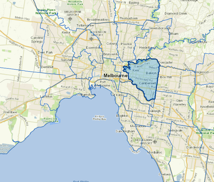
The City of Boroondara is in Melbourne's inner and middle-eastern suburbs, five kilometres east of the central business district.
Almost two-thirds of the City is bounded by water courses and parklands including the Yarra River, Gardiner's Creek and Yarra Bend Park.
The city is primarily residential in nature, although it has a number of educational and private and public health-care facilities.
The main industries include building construction, air and space transport, machinery and equipment wholesaling, publishing.
Council information
Vicmap Basemap Services @ 2023 State Government Victoria | Copyright and Disclaimer
For a detailed map showing shire boundaries and locality names, visit VICNAMES.
Localities
Ashburton, Balwyn, Balwyn North, Burwood, Camberwell, Canterbury, Deepdeene,Glen Iris, Glenferrie South, Greythorn, Hawthorn, Hawthorn East, Kew, Kew East, Mont Albert and Surrey Hills.
Updated