Profile
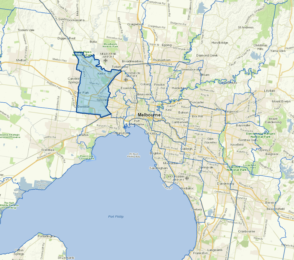
Brimbank is located in the heart of Melbourne’s west with the five activity centres of Sunshine, St Albans, Deer Park, Sydenham and Keilor all thriving communities with unique sets of attractions and amenities. Primary industries include manufacturing, retail, healthcare, and social assistance.
The city is the sixth most populous municipality in Greater Melbourne and one of Australia’s most culturally diverse municipalities, with nearly half of our population born outside the country and speaking over 160 languages.
Brimbank’s Traditional Owners are the Bunurong Land Council Aboriginal Corporation to the south and the Wurundjeri Woi-wurrung Cultural Heritage Aboriginal Corporation to the north.
Council information
Vicmap Basemap Services @ 2023 State Government Victoria | Copyright and Disclaimer
For a detailed map showing shire boundaries and locality names, visit VICNAMES.
Localities
Albanvale, Albion, Ardeer, Brooklyn (part), Cairnlea, Calder Park, Deer Park, Delahey, Derrimut, Hillside (part), Kealba, Keilor, Keilor Downs, Keilor East (part), Keilor Lodge, Keilor North, Keilor Park, Kings Park, St Albans, Sunshine, Sunshine North, Sunshine West, Sydenham, Taylors Lakes and Tullamarine.
Updated