Profile
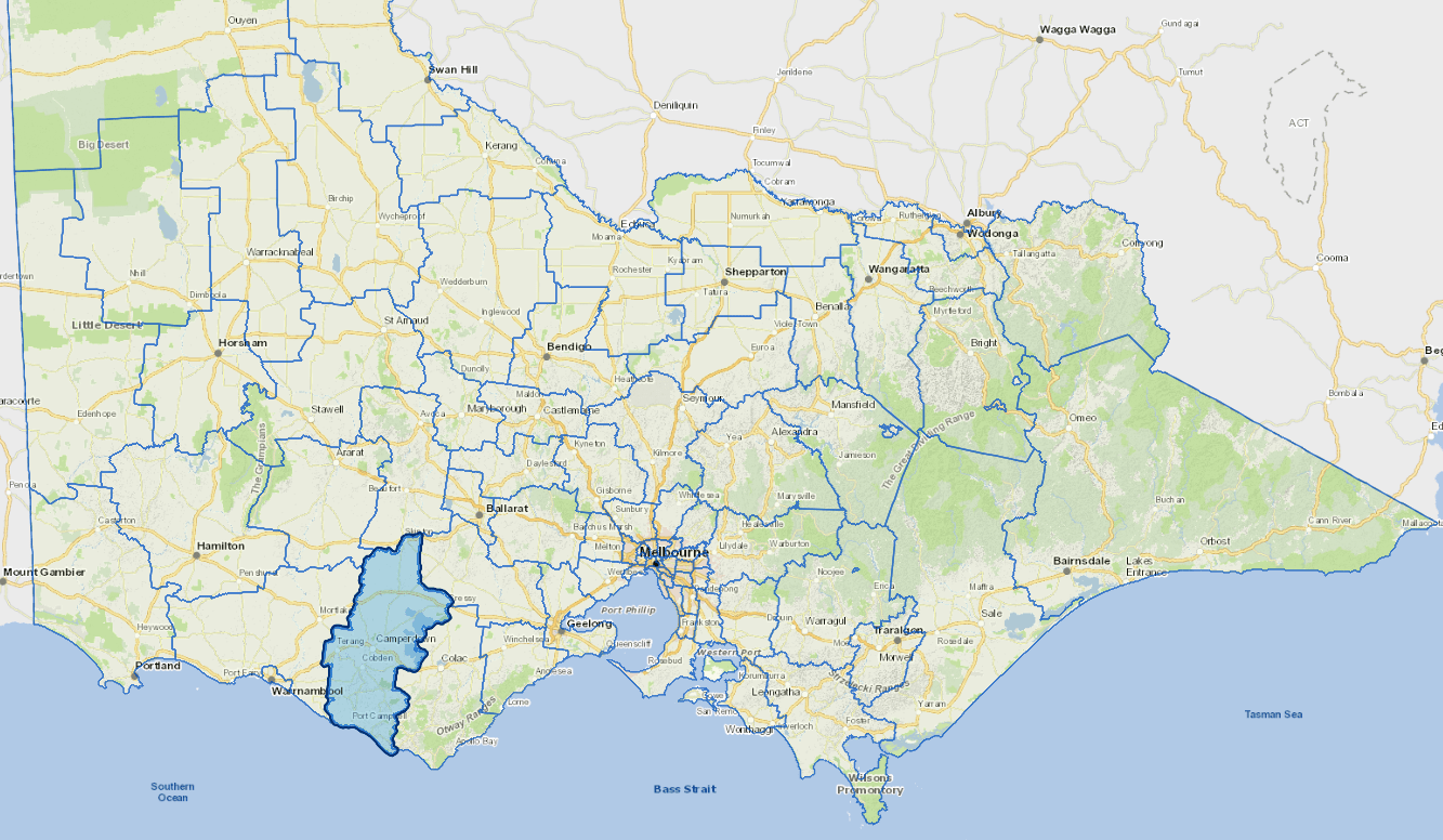
Corangamite Shire is located in Victoria's south west. The Shire extends from the 12 Apostles on the coast near Port Campbell and Princetown to Skipton in the north.
The eastern boundary is Lake Corangamite and the western border is near Garvoc. The shire's economic base is provided through agriculture and some value-adding manufacturing.
Corangamite contains wool growing and cropping areas in the north, while the south has one of the most intensive dairying areas in the State. Farming includes milk, wool, beef, fat lamb and grain. Several milk processing industries are located within Corangamite.
The Great Ocean Road, the 12 Apostles, the Port Campbell National Park, fishing and volcanic hills and craters attract tourists.
Corangamite also produces gourmet food - cheeses, eel processing and ice cream.
Council information
Vicmap Basemap Services @ 2023 State Government Victoria | Copyright and Disclaimer
For a detailed map showing shire boundaries and locality names, visit VICNAMES.
Localities
Alvie, Ayrford, Berrybank, Bookaar, Boorcan, Bostock Creek, Bradvale, Brucknell, Bullaharre, Camperdown, Carlisle River, Carpendeit, Chapple Vale, Chocolyn, Cobden, Cobrico, Cooriemungle, Cowleys Creek, Cressy, Cundare North, Curdie Vale, Curdies River, Darlington, Derrinallum, Dixie, Dreeite, Dreeite South, Duverney, Ecklin South, Elingamite, Elingamite North, Foxhow, Garvoc, Gellibrand Lower, Glenfyne, Glenormiston North, Glenormiston South, Gnotuk, Heytesbury Lower, Jancourt, Jancourt East, Kariah, Kennedys Creek, Koallah, Kolora, Larralea, Leslie Manor, Lismore, Mingay, Mount Bute, Naroghid, Newfield, Nirranda East, Noorat, Noorat East, Paaratte, Peterborough, Pirron Yallock, Pittong, Pomborneit, Pomborneit East, Pomborneit North, Port Campbell, Princetown, Pura Pura, Purrumbete South, Scotts Creek, Simpson, Skibo, Skipton, Stonyford, Tandarook, Taroon, Terang, Tesbury, Timboon, Timboon West, Vite Vite, Vite Vite North, Waarre, Wattle Hill, Weerite, Werneth, Wool Wool and Yuulong.
Updated