Profile
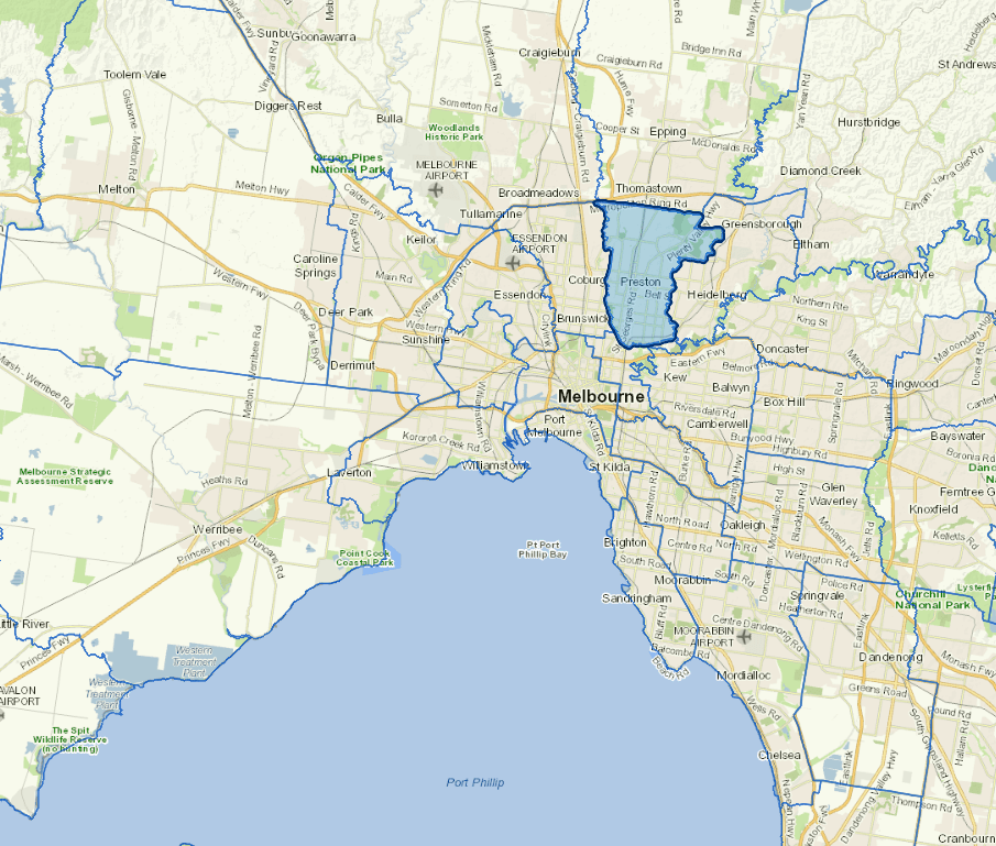
Darebin City is bounded by the Merri Creek to the west and the Darebin Creek to the east.
It is a large, diverse municipality to the north of the central business district that incorporates a mix of residential, industrial and retail areas. The city includes La Trobe University and Northland Shopping Centre.
The main industries include paper and paper products manufacturing.
More than 35% of Darebin's residents were born overseas and more than 40% can speak a language other than English. One in five is over 60.
Council information
Vicmap Basemap Services @ 2023 State Government Victoria | Copyright and Disclaimer
For a detailed map showing shire boundaries and locality names, visit VICNAMES.
Localities
Alphington, Bundoora, Coburg, Coburg North, Fairfield, Keon Park, Kingsbury, Macleod, Northcote, Preston, Regent West, Reservoir and Thornbury.
Updated