Profile
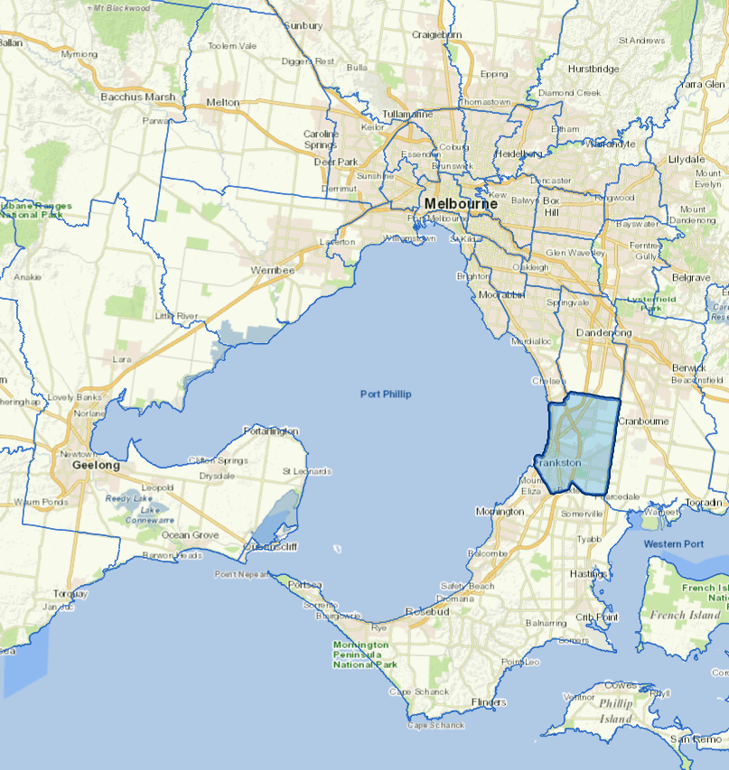
Frankston City is situated on the eastern shore of Port Phillip Bay, about 40 kilometres south of Melbourne central business district.
It is the major retail, employment, cultural, professional and administrative services centre for Melbourne's south-eastern suburbs and the Mornington Peninsula. Major institutions include Monash University, Chisholm Institute of TAFE and the Frankston Campus of Mornington Peninsula Hospital.
The City's five major industry sectors by number of active and registered business entities are construction, property and business services, retail trade, personal and other services and manufacturing.
Council information
Vicmap Basemap Services @ 2023 State Government Victoria | Copyright and Disclaimer
For a detailed map showing shire boundaries and locality names, visit VICNAMES.
Localities
Carrum Downs, Frankston, Frankston North, Frankston South, Karingal, Langwarrin, Langwarrin South, Sandhurst, Seaford and Skye.
Updated