Profile
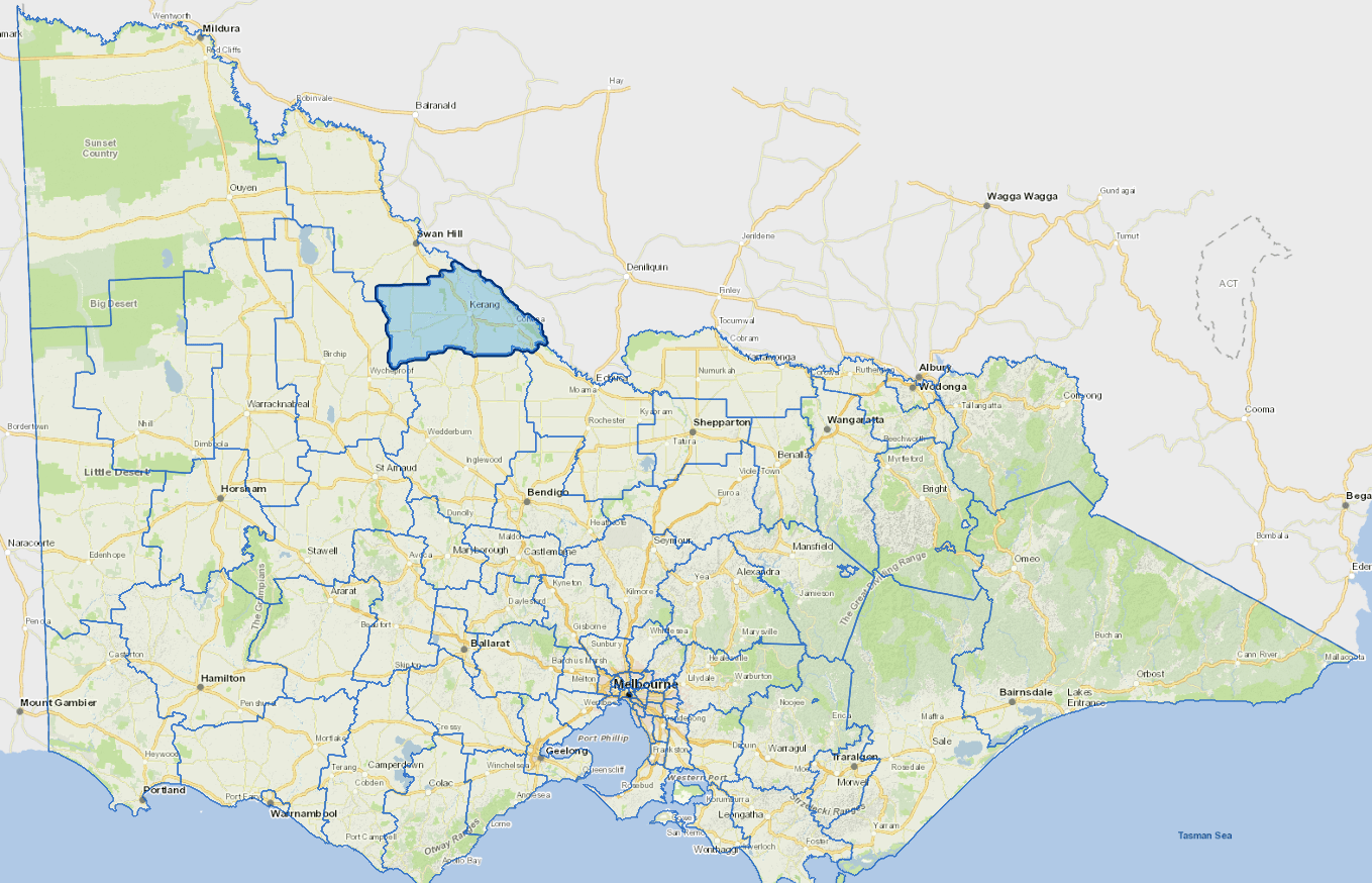
Gannawarra Shire is located beside the Murray River, in the Loddon Murray region of Victoria.
It is three hours' drive from Melbourne. The major regional centres of Bendigo, Echuca and Swan Hill are each about one hour away by road.
Gannawarra Shire is a diverse agricultural region. Its economic base is primarily agriculture, with some important concentrations of manufacturing.
Agricultural activities include cropping, dairying, grazing, horticulture and viticulture. The main industries include agriculture, and dairy product manufacturing.
Council information
Vicmap Basemap Services @ 2023 State Government Victoria | Copyright and Disclaimer
For a detailed map showing shire boundaries and locality names, visit VICNAMES.
Localities
Appin, Appin Park, Appin South, Bael Bael, Beauchamp, Benjeroop, Budgerum East, Burkes Bridge, Cannie, Capels Crossing, Cohuna, Cullen, Daltons Bridge, Dingwall, Fairley, Gannawarra, Gonn Crossing, Gredgwin, Horfield, Kangaroo Lake, Keely, Kerang, Kerang East, Koondrook, Koroop, Lake Charm, Lake Meran, Lalbert, Leitchville, Macorna, Macorna North, McMillans, Mead, Meatian, Meering West, Milnes Bridge, Mincha West, Murrabit, Murrabit West, Myall, Mystic Park, Ninyeunook, Normanville, Oakvale, Pine View, Quambatook, Reedy Lake, Sandhill Lake, Teal Point, Titybong, Towaninny, Tragowel, Wandella, Wee Wee Rup and Westby.
Updated