Profile
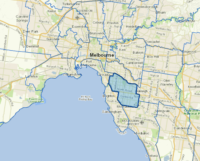
The City of Glen Eira is in Melbourne’s south-east, around 10 kilometres from the central business district. Land use is predominantly residential with associated retail and services.
Glen Eira is a densely populated and culturally diverse residential area. Of its residents, 36% were born overseas, and 31.4% speak a language other than English at home. 35.2% of residents identify as Christian and 16.8% identify their religion as Judaism, making Glen Eira the centre of Melbourne’s Jewish community. 20.1 % of the population are aged 60 years and over and 4.4% of residents have a disability requiring daily assistance with life tasks.
Popular landmarks in the City of Glen Eira include: Caulfield Racecourse; Glen Eira Sports and Aquatic Centre in Bentleigh East; and Booran Reserve in Glen Huntly.
Council information
Vicmap Basemap Services @ 2023 State Government Victoria | Copyright and Disclaimer
For a detailed map showing shire boundaries and locality names, visit VICNAMES.
Localities
Bentleigh, Bentleigh East, Brighton East, Carnegie, Caulfield, Caulfield East, Caulfield North, Caulfield South, Coatesville, Elsternwick, Gardenvale, Glen Huntly, Hopetoun Gardens, McKinnon, Murrumbeena, Ormond, Patterson and St Kilda East.
Updated