Profile
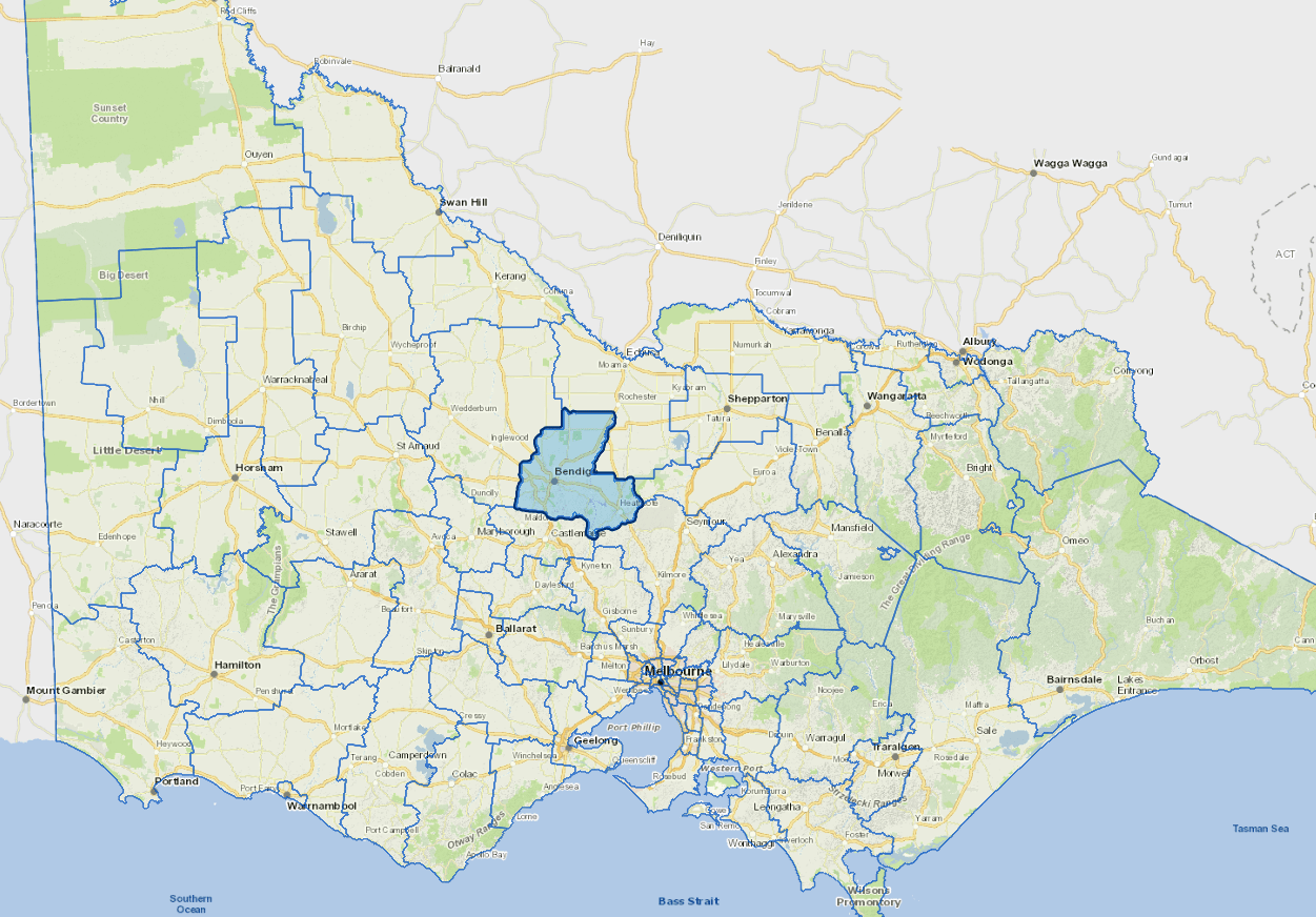
Greater Bendigo is a major regional centre servicing the towns and rural areas of the Loddon region, about 150 kms north west of Melbourne.
While still significant, traditional reliance on manufacturing has diminished in recent years, with the development of a strong health, education and retail sector in the city.
Commerce, finance and government administration are also important activities.
Council information
Vicmap Basemap Services @ 2023 State Government Victoria | Copyright and Disclaimer
For a detailed map showing shire boundaries and locality names, visit VICNAMES.
Localities
Argyle, Ascot, Avonmore, Axe Creek, Axedale, Bagshot, Bagshot North, Barnadown, Bendigo, Bendigo East, Bendigo North, Bendigo West, Big Hill, California Gully, Costerfield, Derrinal, Diamond Hill, Drummartin, Eaglehawk, Eaglehawk North, Elmore, Emu Creek, Eppalock, Epsom, Flora Hill, Fosterville, Golden Gully, Golden Square, Goornong, Harcourt North, Heathcote, Hunter, Huntly, Huntly North, Ironbark, Jackass Flat, Junortoun, Kamarooka, Kangaroo Flat, Kennington, Kimbolton, Knowsley, Ladys Pass, Leichardt, Lockwood, Lockwood South, Long Gully, Longlea, Lyal, Maiden Gully, Mandurang, Mandurang South, Marong, Mia Mia, Minto, Mosquito Creek, Mount Camel, Myers Flat, Myrtle Creek, Neilborough, Pilchers Bridge, Quarry Hill, Raywood, Redcastle, Redesdale, Sailors Gully, Sandhurst East, Sebastian, Sedgwick, Shelbourne, Specimen Hill, Spring Gully, Strathdale, Strathfieldsaye, Summerfield, Toolleen, Tysons Reef, Wellsford, Whipstick, White Hills, Wilsons Hill and Woodvale.
Updated