Profile
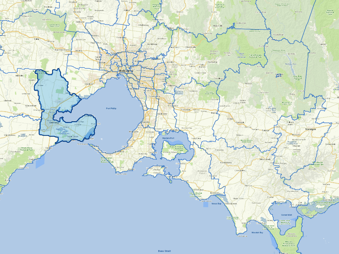
With a population of over almost 259,000 people, the City of Greater Geelong is Victoria’s largest regional city and located 75 kilometres from the Melbourne CBD. Key natural features of the region include Corio Bay, the Bellarine Peninsula, the Barwon River, You Yangs Regional Park, wetlands, beautiful parklands and wildlife sanctuaries.
While Greater Geelong has recorded strong Gross Regional Product and jobs growth in recent years, the coronavirus (COVID-19) pandemic, and associated restrictions, have interrupted this trend. Forecasts show that all industries have experienced job losses and reduced revenue, except healthcare and social assistance. Sectors facing the largest economic impact include tourism, hospitality, retail, personal services, professional services, education and training, arts and recreation, and construction.
Many jobs in the region are generated to service our growing population. The industries that contribute the most jobs and value-added Gross Regional Product in Greater Geelong are:
- healthcare and social assistance
- education and training
- construction
- retail trade and
- manufacturing
Manufacturing is still an important contributor to local economic value. Job losses in the sector have slowed as high-value industries, such as advanced manufacturing, cleantech and agribusiness, have grown. Sectors we anticipate will experience long-term growth in Greater Geelong include tourism, specialised finance and insurance services, and creative, design and digital industries.
Vicmap Basemap Services @ 2023 State Government Victoria | Copyright and Disclaimer
For a detailed map showing shire boundaries and locality names, visit VICNAMES.
Localities
Anakie (part), Armstrong Creek, Avalon, Balliang (part), Barwon Heads, Batesford (part), Bell Park, Bell Post Hill, Bellarine, Belmont, Breakwater, Breamlea (part), Ceres, Charlemont, Clifton Springs, Connewarre (part), Corio, Curlewis, Drumcondra, Drysdale, East Geelong, Fyansford, Geelong, Geelong West, Grovedale, Hamlyn Heights, Herne Hill, Highton, Indented Head, Lara, Leopold, Little River (part), Lovely Banks, Manifold Heights, Mannerim, Marcus Hill, Marshall, Moolap, Moorabool, Mount Duneed (part), Newcomb, Newtown, Norlane, North Geelong, North Shore, Ocean Grove, Point Lonsdale (part), Point Wilson, Portarlington, Rippleside, St Albans Park, St Leonards, Staughton Vale, Swan Bay, Thomson, Wallington, Wandana Heights, Waurn Ponds and Whittington.
Updated