Profile
Greater Shepparton is a dynamic community known as the ‘Food Bowl of Australia’. While Shepparton sits at the heart of the municipality, many wonderful towns make up the region.
Greater Shepparton has a population of more than 68,000 people and more than 7,000 local businesses, which contribute to the region’s strong economy.
The community is made up of over 30 nationalities, with 15.7 per cent of residents born overseas.
Situated on the banks of the Goulburn River, Shepparton has the ideal climate for food production.
Greater Shepparton is a bold, multicultural community which prides itself on being a thriving place to live, work, visit and invest.
Council information
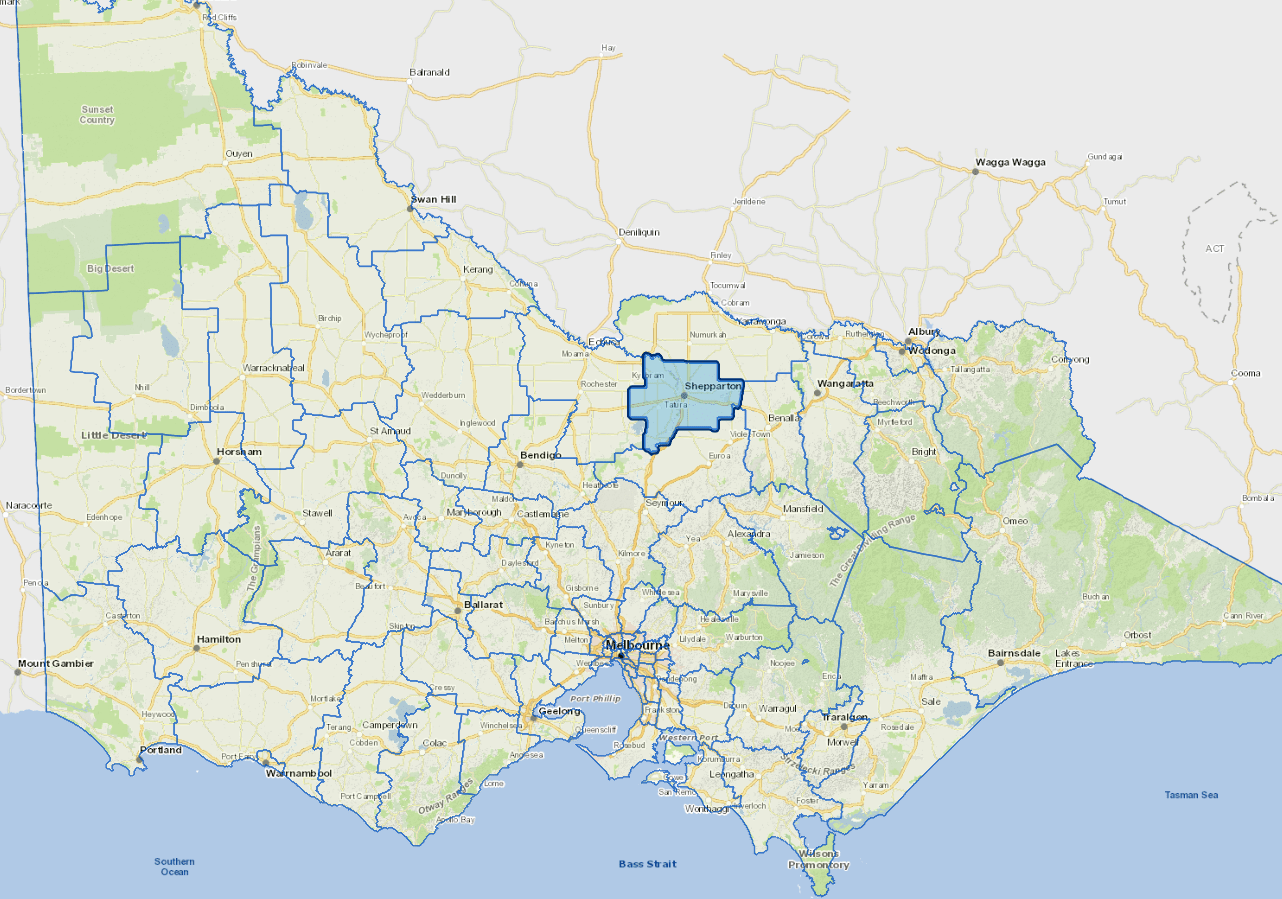
Vicmap Basemap Services @ 2023 State Government Victoria | Copyright and Disclaimer
For a detailed map showing shire boundaries and locality names, visit VICNAMES.
Localities
Arcadia, Ardmona, Boxwood, Branditt, Bunbartha, Byrneside, Caniambo, Colliver, Congupna, Cooma, Coomboona, Cosgrove, Cosgrove South, Dhurringile, Dookie, Dookie College, Dunkirk, Gillieston, Girgarre East, Gowangardie, Grahamvale, Harston, Invergordon South, Karramomus, Katandra, Katandra West, Kialla, Kialla East, Kialla West, Kyabram, Kyabram South, Lancaster, Lemnos, Major Plains, Marionvale, Marungi, Merrigum, Moorilim, Mooroopna, Mooroopna North, Mooroopna North West, Mount Major, Murchison, Murchison East, Murchison North, Nalinga, Orrvale, Pine Lodge, Shepparton, Shepparton East, Shepparton North, St Germains, Stanhope South, Stewarton, Tallygaroopna, Tamleugh North, Tatura, Tatura East, Toolamba, Toolamba East, Toolamba West, Undera, Violet Town, Waranga, Wyuna and Zeerust.
Updated