Profile
Hume City is a growing, urban fringe municipality about 20 kms from Melbourne's central business district.
The southern parts of the city are well-established urban areas, while the north remains rural in character. Almost 29% of its residents were born overseas. It has a young community with 31% of persons aged under 18.
Hume is at the Hume Highway, Calder Highway and Metropolitan Ring Road crossroads. It includes the busy Melbourne Airport.
The main industries include motor vehicle and part manufacturing, air and space transport, other services to transport, electronic equipment manufacturing.
Council information
Vicmap Basemap Services @ 2023 State Government Victoria | Copyright and Disclaimer
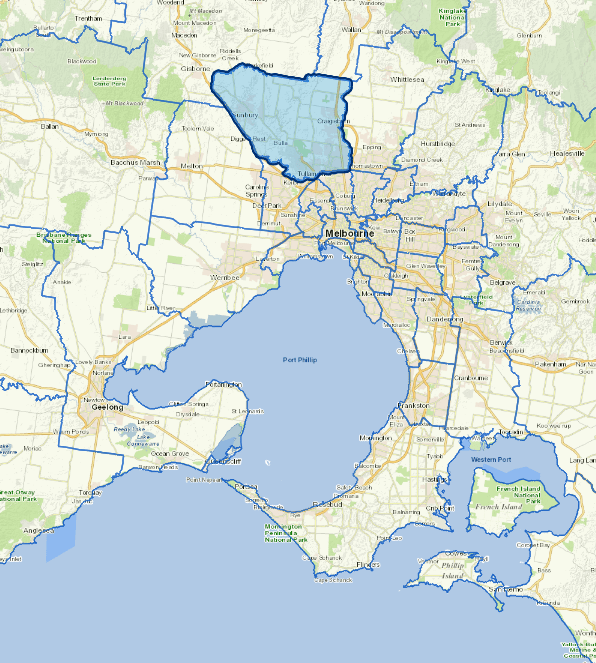
For a detailed map showing shire boundaries and locality names, visit VICNAMES.
Localities
Attwood, Broadmeadows, Bulla, Campbellfield, Clarkefield, Coolaroo, Craigieburn, Dallas, Diggers Rest, Fawkner, Gladstone Park, Greenvale, Jacana, Kalkallo, Keilor, Meadow Heights, Melbourne Airport, Mickleham, Oaklands Junction, Roxburgh Park, Somerton, Sunbury, Tullamarine, Westmeadows, Wildwood and Yuroke.
Updated