Profile
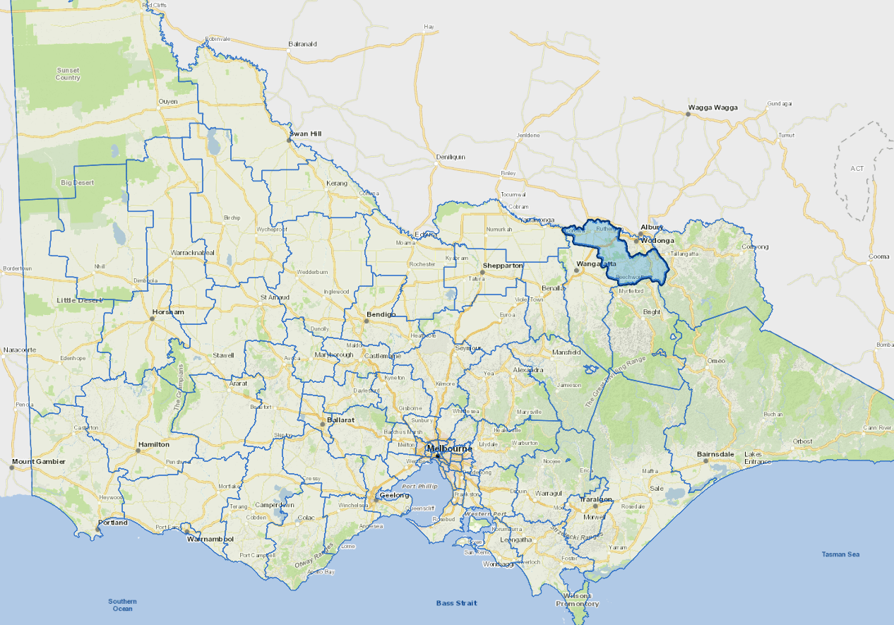
Indigo Shire is 270 km north-east of Melbourne, bordering the Murray River, Australian Alps and the municipalities of Wodonga, Wangaratta, Towong, Alpine and Moira. It is rural in nature with supporting services in small towns. The shire's economy is based on value-adding to local primary produce of the region, especially milk, cereals and grapes, and providing services to people, including tourism.
Tourism is also important the Rutherglen wine producing area and the historic townships of Beechworth, Chiltern and Yackandandah attract thousands of visitors. The main industries include flour mill and cereal food manufacturing, agriculture, other food manufacturing, beverage and malt manufacturing. Residents also commute to Wodonga and Wangaratta for employment.
Council information
Vicmap Basemap Services @ 2023 State Government Victoria | Copyright and Disclaimer
For a detailed map showing shire boundaries and locality names, visit VICNAMES.
Localities
Allans Flat, Barnawartha, Beechworth, Brimin, Browns Plains, Bruarong, Carlyle, Charleroi, Chiltern, Chiltern Valley, Cornishtown, Gooramadda, Great Northern, Gundowring, Huon, Indigo, Indigo Valley, Kergunyah, Kiewa, Lilliput, Mudgegonga, Norong, Norong Central, Osbornes Flat, Prentice North, Red Bluff, Rutherglen, Sandy Creek, Staghorn Flat, Stanley, Tangambalanga, Wahgunyah, Woolshed, Wooragee and Yackandandah.
Updated