Profile
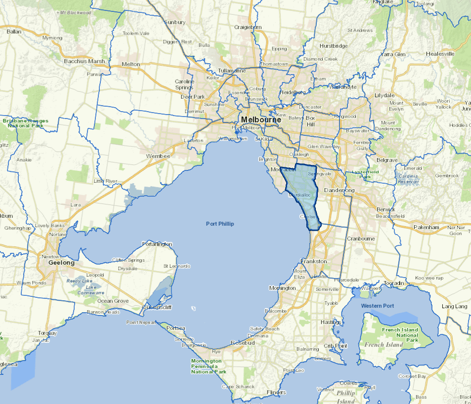
Kingston City sits beside the north eastern shores of Port Phillip Bay, about 15kms south of the Melbourne central business district. It is one of the major manufacturing areas of Melbourne.
The city's industrial strengths include automotive, printing and chemical production. Commercial centres at Southland, Moorabbin and Mordialloc provide an important employment source. The main industries include plastic product manufacturing, other chemical product manufacturing.
Council information
Vicmap Basemap Services @ 2023 State Government Victoria | Copyright and Disclaimer
For a detailed map showing shire boundaries and locality names, visit VICNAMES.
Localities
Aspendale, Aspendale Gardens, Bonbeach, Braeside, Carrum, Chelsea, Chelsea Heights, Cheltenham, Clarinda, Clayton South, Dingley Village, Edithvale, Heatherton, Highett, Mentone, Moorabbin, Moorabbin Airport, Mordialloc, Oakleigh South, Parkdale, Patterson Lakes and Waterways.
Updated