Profile
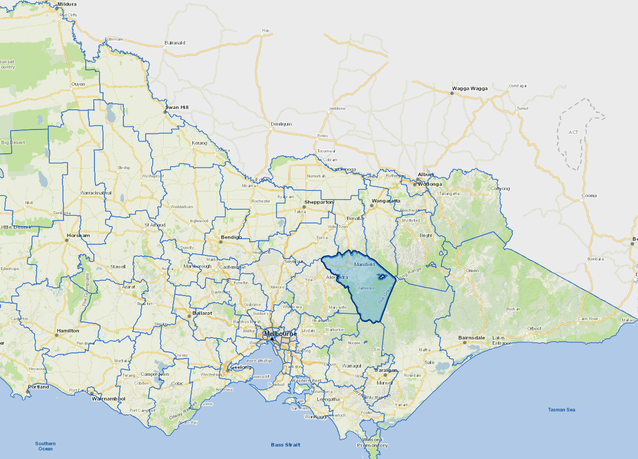
Mansfield Shire is located about 180 kms north-east of Melbourne. The main town is Mansfield. The surrounding smaller settlements only have small numbers of permanent residents but swell considerably during holidays. Natural attractions include Mount Buller, Mount Stirling, parts of Lake Eildon and Alpine National Parks and the Great Dividing Range.
The Alpine Resort areas of Mount Buller and Mount Stirling are wholly surrounded but excluded from the municipal district. A significant part of the municipality is Crown land. The main industries are tourism, farming (seed, sheep and cattle), light industry, light manufacturing, related timber industries and retail farming.
Council information
Vicmap Basemap Services @ 2023 State Government Victoria | Copyright and Disclaimer
For a detailed map showing shire boundaries and locality names, visit VICNAMES.
Localities
Ancona, Barjarg, Barwite, Bonnie Doon, Boorolite, Bridge Creek, Delatite, Gaffneys Creek, Goughs Bay, Howes Creek, Howqua, Howqua Hills, Howqua Inlet, Jamieson, Kevington, Lake Eildon, Nillahcootie, Piries, Sawmill Settlement, Tolmie, Woodfield and Woods Point.
Updated