Profile
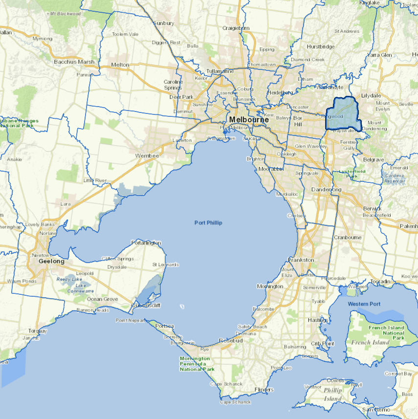
The fast-growing City of Maroondah encompasses many of Melbourne's outer eastern suburbs.
To the north suburbs are semi-rural in parts. The two major retail centres at Ringwood and Croydon, as well as a significant concentration of industry in the south dominate the economy of Maroondah.
The economy is dominated by retailing, anchored by the two main business centres at Ringwood and Croydon.
Council information
Vicmap Basemap Services @ 2023 State Government Victoria | Copyright and Disclaimer
For a detailed map showing LGA boundaries and locality names, visit VICNAMES.
Localities
Bayswater North, Croydon, Croydon Hills, Croydon North, Croydon South, Heathmont, Kilsyth, Kilsyth South, Park Orchards, Ringwood, Ringwood East, Ringwood North, Vermont, Warranwood and Wonga Park.
Updated