Profile
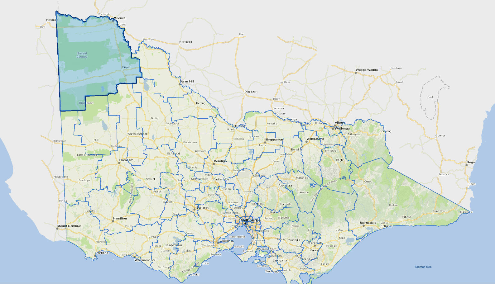
Mildura is a growing regional centre on the banks of the Murray River in north western Victoria.
It includes a mixture of irrigated and dryland farming. Fruit and vegetable production are the most significant industries in Mildura. More than 80% of Victoria's grapes and much of Victoria's citrus fruit is produced in the region. Mildura's temperate climate attracts many local and interstate visitors.
The main industries include agriculture, air and space transport, beverage and malt manufacturing, food drink and tobacco wholesaling.
Council information
Vicmap Basemap Services @ 2023 State Government Victoria | Copyright and Disclaimer
For a detailed map showing shire boundaries and locality names, visit VICNAMES.
Localities
Big Desert, Birdwoodton, Boinka, Cabarita, Cardross, Carina, Carwarp, Colignan, Cowangie, Cullulleraine, Hattah, Iraak, Irymple, Koorlong, Kulwin, Lindsay Point, Linga, Merbein, Merbein South, Merbein West, Meringur, Merrinee, Mildura, Mittyack, Murray-Sunset, Murrayville, Nangiloc, Neds Corner, Nichols Point, Ouyen, Panitya, Patchewollock, Red Cliffs, Sunnycliffs, Tempy, Torrita, Tutye, Underbool, Walpeup, Wargan, Werrimull and Yelta.
Updated