Profile
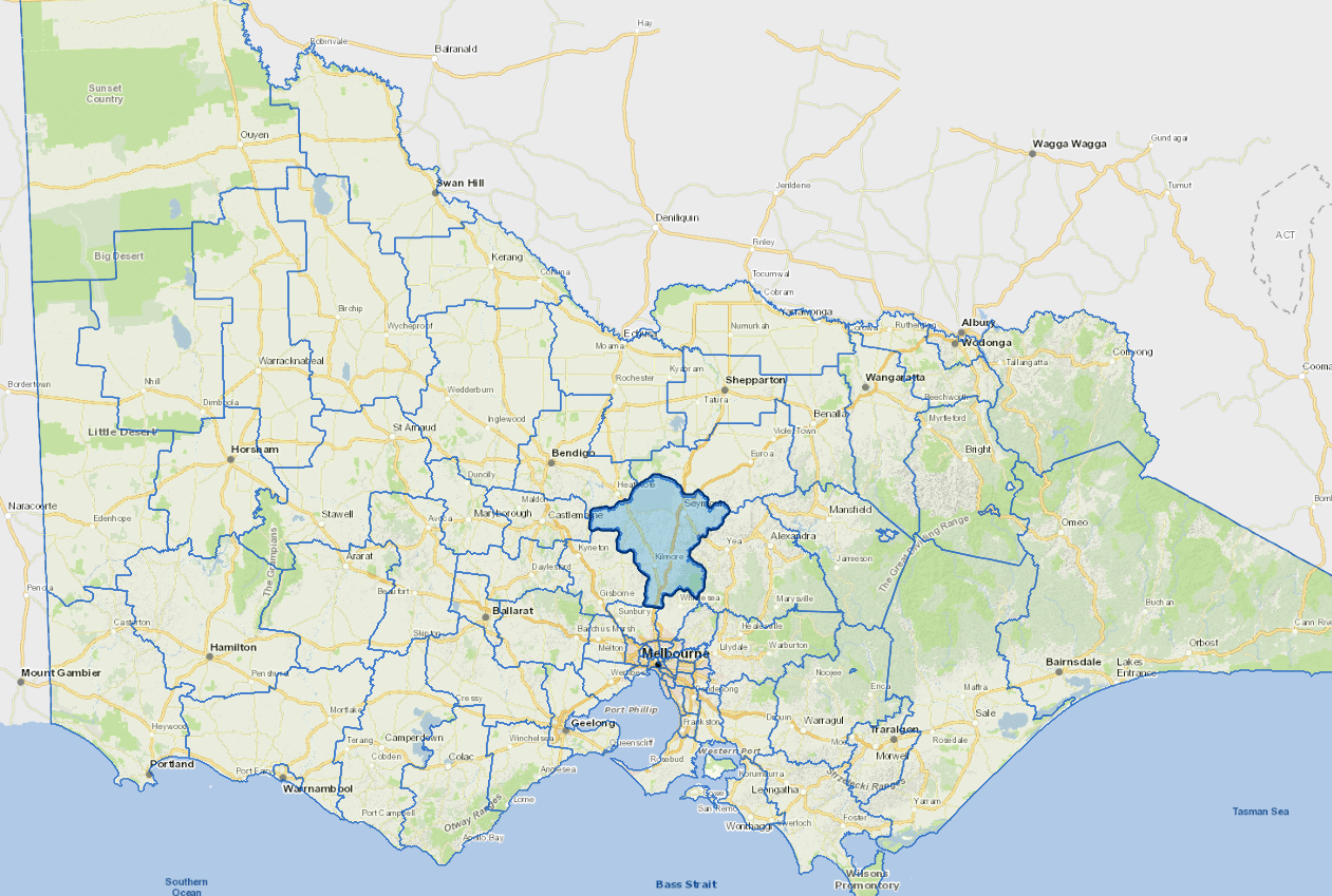
Strategically located just 40 kilometres north of Melbourne, Mitchell Shire is Victoria’s fastest growing municipality. As an interface growth area, we offer a mix of rural and urban living with affordable housing and a diversity of lifestyle and housing choices. Mitchell Shire has an estimated population of 49,000. By 2041 it is expected that 170,000 people will call Mitchell home. It is anticipated that most of this growth will occur in and around the southern townships of Beveridge, Kilmore/Kilmore East and Wallan.
We have a high commuter workforce and our community relies heavily on regional rail and road networks to travel to and from work and for day to day community activities. Key employers within the shire include Puckapunyal Military Area, Council, hospitals, health services, schools and childcare, retail and services, Ralphs Meats and Nestle. Our agricultural, equine and tourism industries are also important contributors to our local economy.
Our rolling foothills, open farmland, mountain ranges, rivers, creeks and natural environment are key attributes of our landscape amenity. This also means parts of our municipality are subject to natural disasters such as fires, storms and floods. At 2,862 square kilometres , we are a large municipality with many larger and smaller townships and communities.
Council information
Vicmap Basemap Services @ 2023 State Government Victoria | Copyright and Disclaimer
For a detailed map showing shire boundaries and locality names, visit VICNAMES.
Localities
Avenel, Beveridge, Broadford, Bylands, Clonbinane, Dysart, Emu Flat, Flowerdale, Forbes, Glenaroua, Glenhope, Glenhope East, Heathcote Junction, Heathcote South, High Camp, Highlands, Hilldene, Kilmore, Kilmore East, Kobyboyn, Mangalore, Mia Mia, Moranding, Northwood, Nulla Vale, Puckapunyal, Pyalong, Reedy Creek, Seymour, Sugarloaf Creek, Sunday Creek, Tallarook, Tarcombe, Tooborac, Trawool, Tyaak, Upper Plenty, Wallan, Wandong, Waterford Park, Whiteheads Creek and Willowmavin.
Updated