Profile
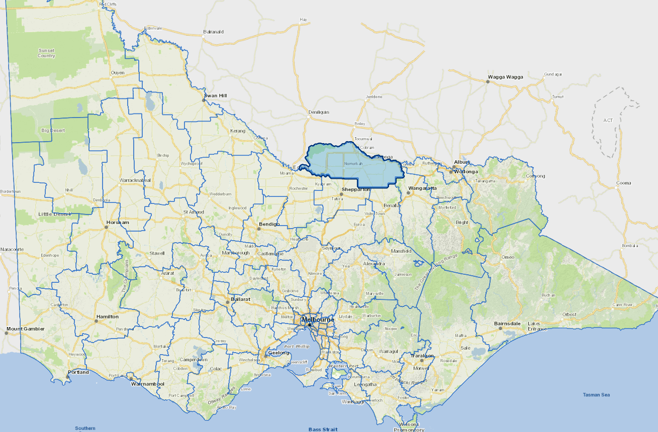
Moira Shire is bounded by the Murray, Goulburn and Ovens Rivers, and is about three hours drive north of Melbourne.
The shire's economic base is provided through primary industries. The region is a major fruit, dairying and beef district with growing tourism and manufacturing sectors.
It is a popular holiday and retirement area, incorporating a large part of the Murray Valley.
Further information
Vicmap Basemap Services @ 2023 State Government Victoria | Copyright and Disclaimer
For a detailed map showing shire boundaries and locality names, visit VICNAMES.
Localities
Almonds, Barmah, Bathumi, Bearii, Boomahnoomoonah, Boosey, Boweya North, Bundalong, Bundalong South, Burramine, Burramine South, Cobram, Cobram East, Drumanure, Esmond, Invergordon, Kaarimba, Katamatite, Katamatite East, Katunga, Koonoomoo, Kotupna, Lake Rowan, Lower Moira, Marungi, Muckatah, Mundoona, Mywee, Naring, Nathalia, Numurkah, Peechelba, Pelluebla, Picola, Picola West, St James, Strathmerton, Telford, Tungamah, Ulupna, Waaia, Waggarandall, Wilby, Wunghnu, Yabba North, Yabba South, Yalca, Yarrawonga, Yarroweyah, Yielima, Youanmite, Youarang and Yundool.
Updated