Profile
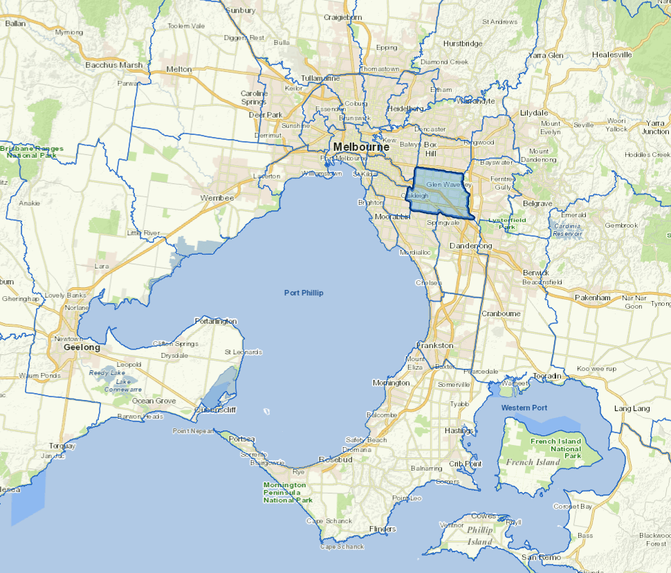
The City of Monash is 20km southeast of Melbourne's central business district and home to world-renowned education, health and research institutions, including Monash University, CSIRO, Monash Children’s Hospital and the Victorian Heart Hospital. With a vibrant mix of residential, commercial and industry, Monash is home to more than 200,000 people, half of whom were born overseas (50.4%).
Monash has a higher proportion of 18-24 year-old residents than Greater Melbourne and in the 2022/23 period, health care and social assistance emerged as the largest employment sectors, generating 23,229 local jobs.
Further information
Vicmap Basemap Services @ 2023 State Government Victoria | Copyright and Disclaimer
For a detailed map showing shire boundaries and locality names, visit VICNAMES.
Localities
Ashwood, Burwood, Chadstone, Clayton, Glen Waverely, Hughesdale, Huntingdale, Mount Waverley, Mulgrave, Notting Hill, Oakleigh, Oakleigh East, Oakleigh South, Pinewood, Syndal and Wheelers Hill.
Updated