Profile
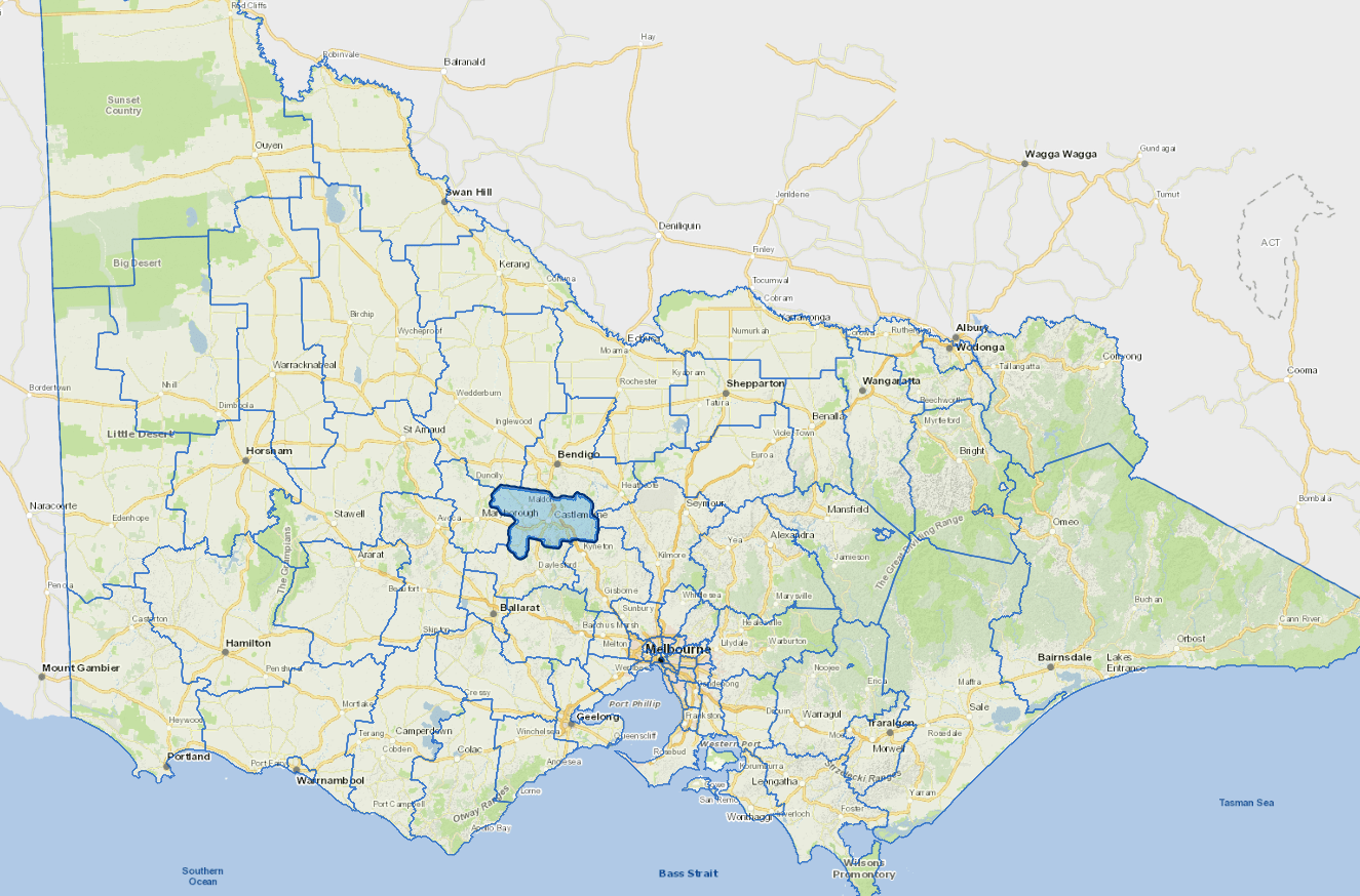
Mount Alexander Shire, located 120 km north-west of Melbourne on Djaara Country, has a diverse economy with strengths in manufacturing, construction, and agriculture. Manufacturing generates over $1 billion annually, supporting 1,500 jobs. Health care, public services, retail, tourism, and creative industries are also vital.
The shire hosts 1,800 businesses, producing over $3 billion in economic output, with 89% being micro or small businesses. Creative enterprises, remote workers, and home-based businesses are growing, alongside education, tourism, sustainability, and the circular economy.
The shire focuses on people, place, and environment to support jobs, innovation, and sustainability.
Council information
Vicmap Basemap Services @ 2023 State Government Victoria | Copyright and Disclaimer
For a detailed map showing shire boundaries and locality names, visit VICNAMES.
Localities
Barfold, Baringhup, Baringhup West, Barkers Creek, Bradford, Campbells Creek, Campbelltown, Carisbrook, Castlemaine, Chewton, Chewton Bushlands, Drummond North, Eastville, Eddington, Elphinstone, Faraday, Franklinford, Fryerstown, Glenluce, Golden Point, Gower, Green Gully, Greenhill, Guildford, Harcourt, Harcourt North, Irishtown, Joyces Creek, Langley, Lockwood South, Maldon, Malmsbury, McKenzies Hill, Metcalfe, Metcalfe East, Moolort, Moonlight Flat, Muckleford, Muckleford South, Myrtle Creek, Neereman, Newstead, Nuggetty, Porcupine Flat, Ravenswood, Ravenswood South, Redesdale, Sandon, Shelbourne, Strangways, Strathlea, Sutton Grange, Taradale, Tarilta, Tarrengower, Vaughan, Walmer, Welshmans Reef, Werona, Yandoit Hills and Yapeen.
Updated