Profile
Strathbogie Shire: Invest. Live. Visit. Play.
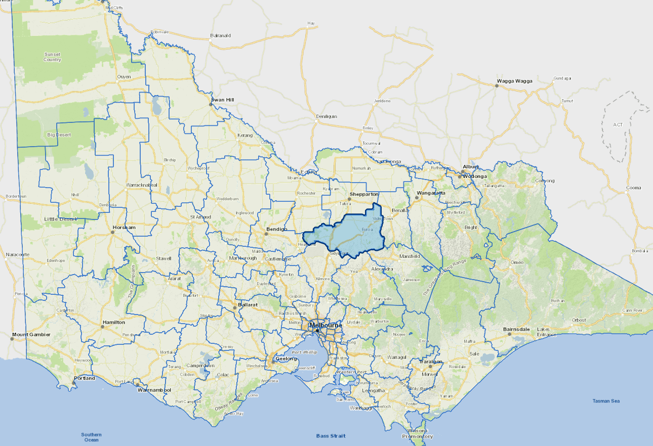
Located in North central Victoria, Strathbogie Shire embraces more than 1,550 businesses over 20 industry sectors which support over 10,000 residents who call the area home.
For more than 150 years, the agricultural sector and the businesses that support and depend on those farms have produced wool, grain, livestock, winemaking, horticultural production and more.
Boasting seven townships, this magnificent area offers a wonderful lifestyle with natural attractions and so much to see, do, experience and taste. Enjoy breathtaking views through the granite-topped Strathbogie Ranges and relish the tranquil cool waters of Lake Nagambie.
Council information
Vicmap Basemap Services @ 2023 State Government Victoria | Copyright and Disclaimer
For a detailed map showing shire boundaries and locality names, visit VICNAMES.
Localities
Arcadia South, Avenel, Baddaginnie, Bailieston, Balmattum, Boho, Boho South, Creek Junction, Creighton, Creightons Creek, Earlston, Euroa, Gooram, Goulburn Weir, Graytown, Kelvin View, Kirwins Bridge, Kithbrook, Koonda, Locksley, Longwood, Longwood East, Mangalore, Marraweeny, Miepoll, Mitchellstown, Moglonemby, Molka, Moorilim, Moormbool West, Nagambie, Nalinga, Pranjip, Riggs Creek, Ruffy, Sheans Creek, Strathbogie, Tabilk, Tamleugh, Tarcombe, Upotipotpon, Upton Hill, Violet Town, Wahring, Whroo and Wirrate.
Updated