Profile
Surf Coast Shire is between 75 and 125 kilometres south west of the Melbourne GPO, and between 12 and 60 kilometres south west of Geelong.
The Shire has grown rapidly, with Torquay/Jan Juc averaging around 5% annual increase in resident population. It is a popular tourist and surfing area with strong connections to Geelong. These service industries make a substantial contribution to the local economy, and the popular Great Ocean Road attracts many visitors.
Other important industries include agriculture, tourism, electricity supply, building construction.
Council information
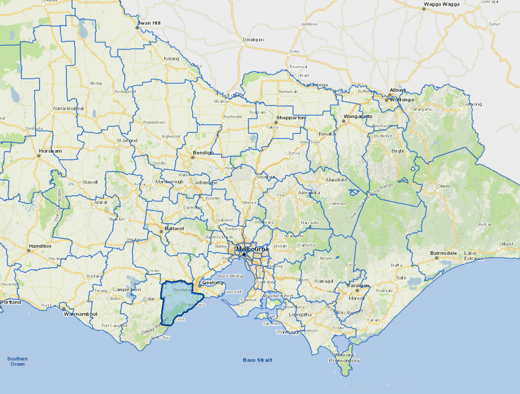
Vicmap Basemap Services @ 2023 State Government Victoria | Copyright and Disclaimer
For a detailed map showing shire boundaries and locality names, visit VICNAMES.
Localities
Aireys Inlet, Anglesea, Bambra, Barrabool, Bellbrae, Bells Beach, Benwerrin, Big Hill, Birregurra, Boonah, Breamlea, Buckley, Connewarre, Deans Marsh, Eastern View, Fairhaven, Freshwater Creek, Gherang, Gnarwarre, Inverleigh, Jan Juc, Lorne, Modewarre, Moggs Creek, Moriac, Mount Duneed, Mount Moriac, Ombersley, Paraparap, Pennyroyal, Torquay, Wensleydale, Winchelsea, Winchelsea South and Wurdiboluc.
Updated