Profile
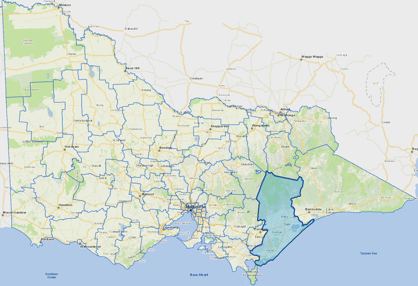
Wellington Shire Council, located in Gippsland spans nearly 11,000 square kilometres and is aptly known as The Middle of Everywhere. The region boasts a stunning array of natural landscapes including pristine beaches and rainforests to mountains and expansive wetlands.
Strategically located in Australia’s first offshore wind zone, it’s set to benefit from $40 billion in renewable energy investment. Key industries include defence, aviation, oil and gas, agriculture, healthcare, construction, tourism, and a major prison.
As the economy shifts, Wellington’s natural assets and diverse industries position it for growth in emerging sectors, especially renewables and defence.
Council information
Vicmap Basemap Services @ 2023 State Government Victoria | Copyright and Disclaimer
For a detailed map showing shire boundaries and locality names, visit VICNAMES.
Localities
Airly, Alberton, Alberton West, Arbuckle, Balook, Billabong, Binginwarri, Blackwarry, Boisdale, Briagolong, Budgee Budgee, Bundalaguah, Buragwonduc, Bushy Park, Callignee North, Callignee South, Calrossie, Carrajung, Carrajung Lower, Carrajung South, Castleburn, Cherrilong, Christies, Clydebank, Cobains, Coongulla, Cowa, Cowwarr, Crookayan, Crooked River, Dargo, Darriman, Dawson, Denison, Devon North, Dutson, Dutson Downs, Fernbank, Flamingo Beach, Flynn, Flynns Creek, Fulham, Gelliondale, Giffard, Giffard West, Gillum, Glen Falloch, Glengarry, Glenmaggie, Glomar Beach, Golden Beach, Gormandale, Grand Ridge, Greenmount, Hawkhurst, Hedley, Heyfield, Hiamdale, Hiawatha, Hollands Landing, Howitt Plains, Hunterston, Jack River, Johnstones Hill, Kilmany, Koorool, Lake Wellington, Langsborough, Licola, Licola North, Llowalong, Loch Sport, Longford, Macks Creek, Madalya, Maffra, Maffra West Upper, Manns Beach, McLoughlins Beach, Meerlieu, Mewburn Park, Miowera, Monomak, Montgomery, Moornapa, Moroka, Mount Buller, Munro, Myrtlebank, Nambrok, Nap Nap Marra, Newry, Nuntin, Ocean Grange, Paradise Beach, Pearsondale, Perry Bridge, Port Albert, Reynard, Riverslea, Robertsons Beach, Rosedale, Sale, Sale East, Sargood, Seacombe, Seaspray, Seaton, Snake Island, Staceys Bridge, Stockdale, Stradbroke, Stratford, Tamboritha, Tarra Valley, Tarraville, The Heart, The Honeysuckles, Tinamba, Tinambra West, Toolome, Toongabbie, Toora North, Valencia Creek, Walhalla, Walhalla East, Waterford, Willung, Willung South, Winnindoo, Won Wron, Wongungarra, Wonyip, Woods Point, Woodside, Woodside Beach, Woodside North, Woolenook, Woorarra, Worrowing, Wrathung, Wrixen, Wurruk, Yangoura and Yarram.
Updated