Profile
West Wimmera lies in western Victoria on the South Australian border, about half way between Melbourne and Adelaide.
The economy of the shire is dominated by agricultural production, particularly wheat, sheep and vegetables.
The area also boasts a large variety of natural environments, including the Big Desert Wilderness Park, the Little Desert National Park and about 3,000 wetlands.
Council information
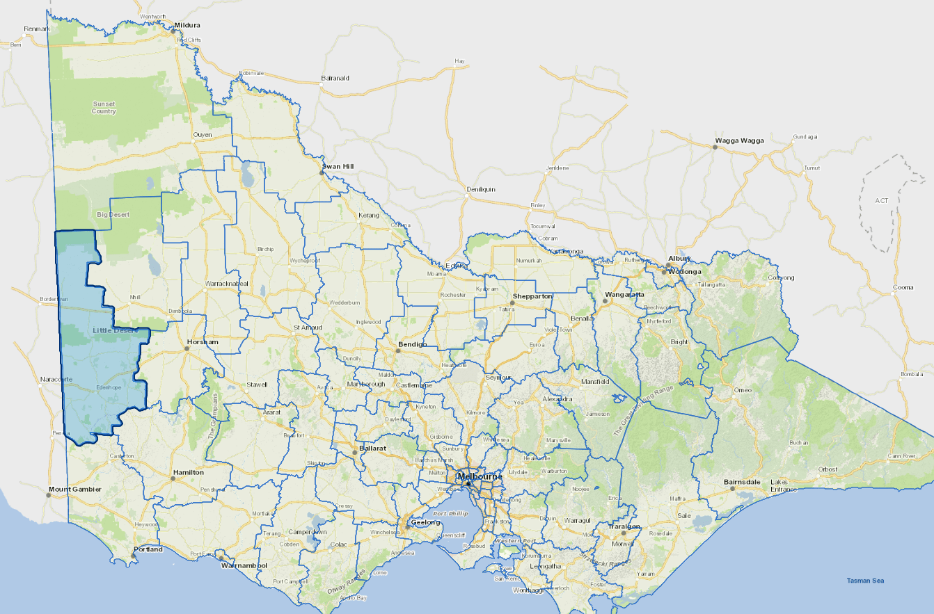
Vicmap Basemap Services @ 2023 State Government Victoria | Copyright and Disclaimer
For a detailed map showing shire boundaries and locality names, visit VICNAMES.
Localities
Apsley, Benayeo, Big Desert, Bringalbert, Broughton, Charam, Chetwynd, Connewirrecoo, Dergholm, Dorodong, Douglas, Edenhope, Goroke, Grass Flat, Gymbowen, Harrow, Kadnook, Kaniva, Karnak, Langkoop, Lawloit, Lillimur, Miga Lake, Minimay, Miram, Mitre, Neuarpurr, Nurcoung, Ozenkadnook, Patyah, Peronne, Poolaijelo, Powers Creek, Serviceton, Tarrayoukyan, Telopea Downs, Ullswater and Wombelano.
Updated