Profile
Located in Melbourne’s north, about 20km from the Central Business District, the City of Whittlesea is one of Victoria’s largest and fastest growing municipalities, with the 2020 population of nearly 240,000 set to increase to more than 380,000 by 2040.
It is also home to a diverse community with almost half of Whittlesea’s residents speaking a language other than English at home. In previous decades most overseas-born residents were of European heritage, particularly Italy, Greece and Macedonia. Emerging communities include residents born in India, China, Iran and Sri Lanka. About 42 per cent of households are families with children.
More than 70 per cent of the City of Whittlesea is rural area, with the remaining urban area comprising houses, shops and factories. The three largest industry sector employers are health care and social assistance, retail trade and construction, and include Epping’s Northern Hospital and major shopping precincts at Epping Plaza, Plenty Valley South Morang and University Hill Bundoora.
Council information
Vicmap Basemap Services @ 2023 State Government Victoria | Copyright and Disclaimer
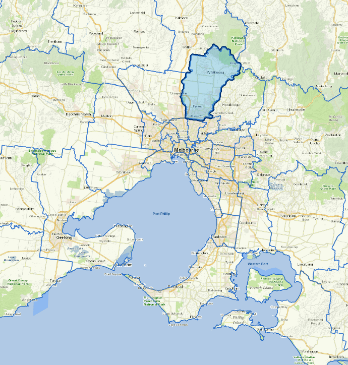
For a detailed map showing shire boundaries and locality names, visit VICNAMES.
Localities
Beveridge, Bruces Creek, Bundoora, Donnybrook, Doreen, Eden Park, Epping, Humevale, Kinglake West, Lalor, Mernda, Mill Park, Morang South, Thomastown, Whittlesea, Wollert, Woodstock and Yan Yean.
Updated