Profile
Yarra Ranges offers a mixture of urban and rural communities.
Around 70% of the Shire's population live in the 'urban' areas of the Shire that represents approximately 3% of its landmass in the west of the shire. The remaining population is distributed throughout rural areas.
There are over 55 suburbs, townships, small communities and rural areas within the Shire, making it one of the most diverse of any municipality in the State.
The municipality is home to significant natural reserves and boasts popular areas such as the Dandenong Ranges and the Upper Yarra Valley.
The main industries include electrical equipment and appliance manufacturing, agriculture, building construction.
Council information
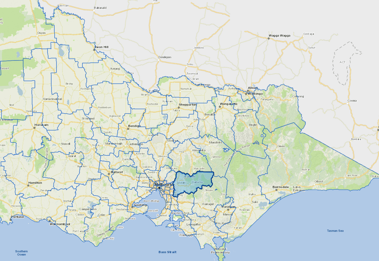
Vicmap Basemap Services @ 2023 State Government Victoria | Copyright and Disclaimer
For a detailed map showing shire boundaries and locality names, visit VICNAMES.
Localities
Badger Creek, Beenak, Belgrave, Belgrave Heights, Belgrave South, Big Pats Creek, Cambarville, Chirnside Park, Chum Creek, Clematis, Coldstream, Dixons Creek, Don Valley, Emerald, Fernshaw, Ferny Creek, Gilderoy, Gladysdale, Gruyere, Healesville, Hoddles Creek, Kallista, Kalorama, Kilsyth, Launching Place, Lilydale, Lysterfield, Macclesfield, Matlock, McMahons Creek, Menzies Creek, Millgrove, Monbulk, Montrose, Mooroolbark, Mount Dandenong, Mount Evelyn, Mount Toolebewong, Narre Warren East, Olinda, Powelltown, Reefton, Sassafras, Selby, Seville, Seville East, Sherbrooke, Silvan, Steels Creek, Tarrawarra, Tecoma, The Patch, Three Bridges, Toolangi, Toorongo, Tremont, Upper Ferntree Gully, Upwey, Wandin East, Wandin North, Warburton, Warburton East, Wesburn, Woori Yallock, Yarra Glen, Yarra Junction, Yellingbo and Yering.
Updated