Profile
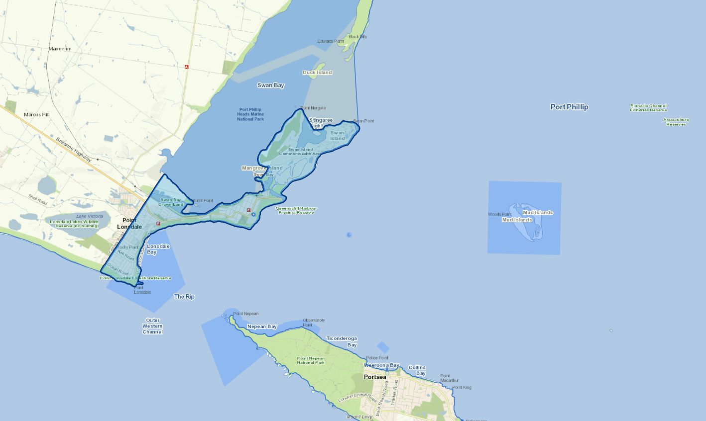
The Borough of Queenscliffe is the smallest local government area in Victoria, covering just under 11 square kilometres. It is formed by the seaside villages of Queenscliff and Point Lonsdale, as well as Swan Bay.
The predominantly urban Borough was created in May 1863 and has remained in existence since that time. It is the only Borough in Victoria and the only local government area that has not been subject to amalgamation. Queenscliff was first and foremost built for Government purposes. It provided postal, customs, health and telegraph services, lighthouse and signal services, military and defence establishments and the sea pilots service. There are many significant historical buildings within the Borough that contribute to the community's distinctive built environment. Well-preserved heritage buildings are one of the key tourism assets for Queenscliff. As well as being of high ecological value, the foreshore and marine environments contribute to urban and landscape character, which attracts many people to the area.
The Borough of Queenscliffe community is close-knit. It enjoys a highly active community life through volunteering, event attendance and a vibrant social scene.
Council information
Vicmap Basemap Services @ 2023 State Government Victoria | Copyright and Disclaimer
For a detailed map showing shire boundaries and locality names, visit VICNAMES.
Localities
Point Lonsdale, Queenscliff and Swan Island.
Updated